Paypay:USA Montana location map.svg

Size of this PNG preview of this SVG file: 800 × 595 nga mga pixel. Iba nga mga resolusyon: 320 × 238 nga mga pixel | 640 × 476 nga mga pixel | 1,024 × 761 nga mga pixel | 1,280 × 952 nga mga pixel | 2,560 × 1,903 nga mga pixel | 1,201 × 893 nga mga pixel.
Orihinal nga paypay (SVG nga fayl, ginbabanabanahan nga 1,201 × 893 nga mga pixel, kadako han fayl: 636 nga KB)
Dalikyat nga pulong
| Tigtulidong |
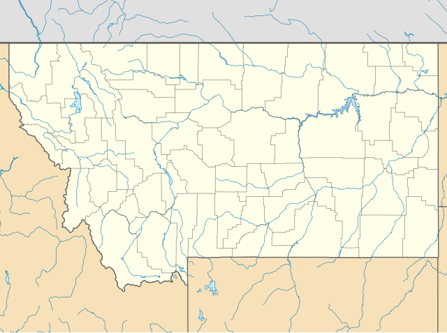
Quadratische Plattkarte, N-S-Streckung 150.0 %. Geographische Begrenzung der Karte:
Equirectangular projection, N/S stretching 150.0 %. Geographic limits of the map:
|
||
| Petsa | |||
| Ginkuhaan | Kalugaringon nga buhat | ||
| Awtor | Alexrk2 | ||
| Other versions |
Derivative works of this file:
|
||
| SVG genesis |
|


Palilisensya:
I, the copyright holder of this work, hereby publish it under the following licenses:

|
An permiso in ginhatag ha pagkopya, pagpakalat ngan/o pagliwat hinin nga dokumento ha ilarom han mga termino han GNU Free Documentation License, Version 1.2 o mas uruurhi nga version nga ginmantala han Free Software Foundation; nga may-ada waray Invariant Sections, waray Front-Cover Texts, ngan waray Back-Cover Texts. May-ada kopya hin lisensya nga ginlalakip ha seksyon nga may-ada pamagat nga GNU Free Documentation License. |
This file is licensed under the Creative Commons Attribution 3.0 Unported license.
- Talwas ka:
- para han pagpasaro – para han pagkopya, pagpakalat ngan pagpadangat han buhat
- para han pagremix – pag-adapt han buhat
- Ha ilarom an masunod nga mga kondisyon:
- attribution – Kinahanglanon mo tagan hin kaangayan nga credit, paghatag hin sumpay ngadto ha lisensya, ngan igbutang an imo ginbag-ohan nga binuhat. Puydi mo ini buhaton ha bisan ano nga resonable nga pamaagi, pero diri nimo pagawson nga an naghatag hin lisensya nag-eendorso ha imo o ha imo paggamit.
Puydi ka pumili hin lisenysa nga karuyag mo.
Kaagi han paypay
Pidlita an adlaw/oras para makit-an an fayl nga naggawas hito nga oras.
| Pitsa/Oras | Thumbnail | Mga dimensyon | Gumaramit | Komento | |
|---|---|---|---|---|---|
| waray pa kasasapawi | 20:33, 20 Enero 2019 | | 1,201 × 893 (636 nga KB) | Milenioscuro | Does not match with the color conventions |
| 23:52, 18 Enero 2019 |  | 1,201 × 893 (657 nga KB) | Allice Hunter | Colours changed | |
| 15:39, 2 Hulyo 2009 |  | 1,201 × 893 (636 nga KB) | Alexrk2 | == Beschreibung == {{Information |Description= {{de|Positionskarte von Montana, USA}} Quadratische Plattkarte, N-S-Streckung 150.0 %. Geographische Begrenzung der Karte: * N: 49.8° N * S: 43.6° N * W: 116.3° W * O: 103.8° W |
Mga Sumpay
An mga nasunod nga mga pakli nasumpay hini nga paypay:
Global file usage
An masunod nga iba nga mga wiki in nagamit hini nga file:
- Paggamit ha an.wikipedia.org
- Paggamit ha ar.wikipedia.org
- Paggamit ha azb.wikipedia.org
- پیونیر جانکشن، مونتانا
- لیک مری رونن، مونتانا
- لیتل براوینق، مونتانا
- سانتا ریتا، مونتانا
- هبقن لیک استیتس، مونتانا
- وست کوتنای، مونتانا
- شامات، مونتانا
- ویکسویل، مونتانا
- فاکس، مونتانا
- کت کریک، مونتانا
- بل کریک، مونتانا
- ملویل، مونتانا
- آسویقو، مونتانا
- کورینت، مونتانا
- کربی، مونتانا
- هانقری جو، مونتانا
- کارترویل، مونتانا
- مکلیود، مونتانا
- کینزی، مونتانا
- ساوت قلستونبری، مونتانا
- هینزدیل، مانتانا
- کاریوون، مونتانا
- لیتل بیترروت لیک، مونتانا
- هپیز این، مونتانا
- بلومفیلد، مونتانا
- براکوی، مونتانا
- سدان، مونتانا
- مکسویل، مونتانا
- ریدر کریک، مونتانا
- لوتر، مونتانا
- سوان لیک، مونتانا
- ساوت هیلز، مونتانا
- راپلیی، مونتانا
- کوروین اسپرینقز، مونتانا
- هلنا فلتس، مونتانا
- دکر، مونتانا
- راکی بوی وست، مونتانا
- د سیلوس، مونتانا
- پاندرزا پاینز، مونتانا
- پیلتزویل، مونتانا
- کمس، مونتانا
- آکتون، مونتانا
- سیلوانیت، مونتانا
- کوندون، مونتانا
- میرز، مونتانا
Kitaa durudamo nga global usage hinin nga file.