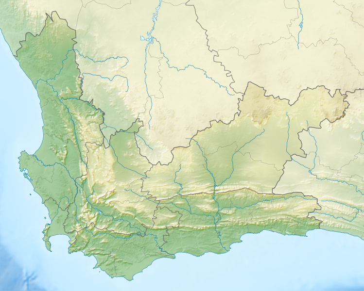
Paypay:South Africa Western Cape relief location map.svg

Size of this PNG preview of this SVG file: 749 × 600 nga mga pixel. Iba nga mga resolusyon: 300 × 240 nga mga pixel | 600 × 480 nga mga pixel | 959 × 768 nga mga pixel | 1,279 × 1,024 nga mga pixel | 2,558 × 2,048 nga mga pixel | 1,214 × 972 nga mga pixel.
Orihinal nga paypay (SVG nga fayl, ginbabanabanahan nga 1,214 × 972 nga mga pixel, kadako han fayl: 1.98 nga MB)
Kaagi han paypay
Pidlita an adlaw/oras para makit-an an fayl nga naggawas hito nga oras.
| Pitsa/Oras | Thumbnail | Mga dimensyon | Gumaramit | Komento | |
|---|---|---|---|---|---|
| waray pa kasasapawi | 19:44, 4 Enero 2013 |  | 1,214 × 972 (1.98 nga MB) | Htonl | {{Information |Description ={{en|1=Relief location map of the Western Cape Equirectangular projection, N/S stretching 118%. Geographic limits of the map: * N: 30.25° S * S: 35.0° S * W: 17.5° E * E: 24.5° E}} |Source ... |
Mga Sumpay
An mga nasunod nga mga pakli nasumpay hini nga paypay:
Global file usage
An masunod nga iba nga mga wiki in nagamit hini nga file:
- Paggamit ha ar.wikipedia.org
- Paggamit ha ban.wikipedia.org
- Paggamit ha be.wikipedia.org
- Paggamit ha bg.wikipedia.org
- Paggamit ha ceb.wikipedia.org
- Paggamit ha de.wikipedia.org
- Robben Island
- Kap der Guten Hoffnung
- Tafelbucht
- Boulders Beach
- Saldanha Bay
- Montagu-Pass
- Wikipedia:Kartenwerkstatt/Positionskarten/Afrika
- Dyer Island (Südafrika)
- False Bay
- Vorlage:Positionskarte Südafrika Westkap
- Duiker Island
- Benutzer:Pechristener/Baustelle
- Dassen Island
- Benutzer:Olga Ernst/Walker Bay (Südafrika)
- Walker Bay (Südafrika)
- Matroosberg
- Outeniqua-Pass
- Still Bay
- Sankt-Helena-Bucht
- Bergwerk Steenkampskraal
- Robinson-Pass (Südafrika)
- Garcias-Pass
- Paggamit ha en.wikipedia.org
Kitaa durudamo nga global usage hinin nga file.