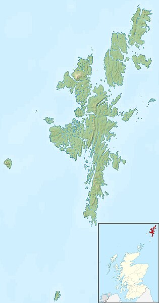
Paypay:Shetland UK relief location map.jpg

Kadako hin nga pahiuna nga pagawas: 315 × 599 nga mga pixel. Iba nga mga resolusyon: 126 × 240 nga mga pixel | 252 × 480 nga mga pixel | 404 × 768 nga mga pixel | 538 × 1,024 nga mga pixel | 1,999 × 3,802 nga mga pixel.
Orihinal nga paypay (1,999 × 3,802 nga pixel, kadako han fayl: 505 nga KB, MIME nga tipo: image/jpeg)
Kaagi han paypay
Pidlita an adlaw/oras para makit-an an fayl nga naggawas hito nga oras.
| Pitsa/Oras | Thumbnail | Mga dimensyon | Gumaramit | Komento | |
|---|---|---|---|---|---|
| waray pa kasasapawi | 12:29, 30 Nobyembre 2011 |  | 1,999 × 3,802 (505 nga KB) | Nilfanion | {{Information |Description=Relief map of the Shetland Islands, UK. Equirectangular map projection on WGS 84 datum, with N/S stretched 200% Geographic limits: *West: 2.15W *East: 0.70W *North: 60.88N *South: 59.50N |Source=[[w:Ordn |
Mga Sumpay
An mga nasunod nga mga pakli nasumpay hini nga paypay:
Global file usage
An masunod nga iba nga mga wiki in nagamit hini nga file:
- Paggamit ha ar.wikipedia.org
- Paggamit ha ast.wikipedia.org
- Paggamit ha bg.wikipedia.org
- Paggamit ha ca.wikipedia.org
- Paggamit ha ceb.wikipedia.org
- Paggamit ha da.wikipedia.org
- Paggamit ha de.wikipedia.org
- Whalsay
- Muckle Roe
- Trondra
- West Burra
- East Burra
- Muckle Flugga
- Mousa
- Balta (Insel)
- Vorlage:Positionskarte Schottland Shetland
- Loch of Spiggie
- Gruney
- Ramna Stacks
- Burra Voe (Northmavine)
- Loch of Cliff
- Loch of Housetter
- St Magnus Bay
- The Heag (Vementry)
- The Heag (West Burrafirth)
- West Burrafirth (Insel)
- Paggamit ha de.wikivoyage.org
- Paggamit ha en.wikipedia.org
Kitaa durudamo nga global usage hinin nga file.