Paypay:Saxony location map.svg

Size of this PNG preview of this SVG file: 800 × 583 nga mga pixel. Iba nga mga resolusyon: 320 × 233 nga mga pixel | 640 × 467 nga mga pixel | 1,024 × 747 nga mga pixel | 1,280 × 933 nga mga pixel | 2,560 × 1,867 nga mga pixel | 2,068 × 1,508 nga mga pixel.
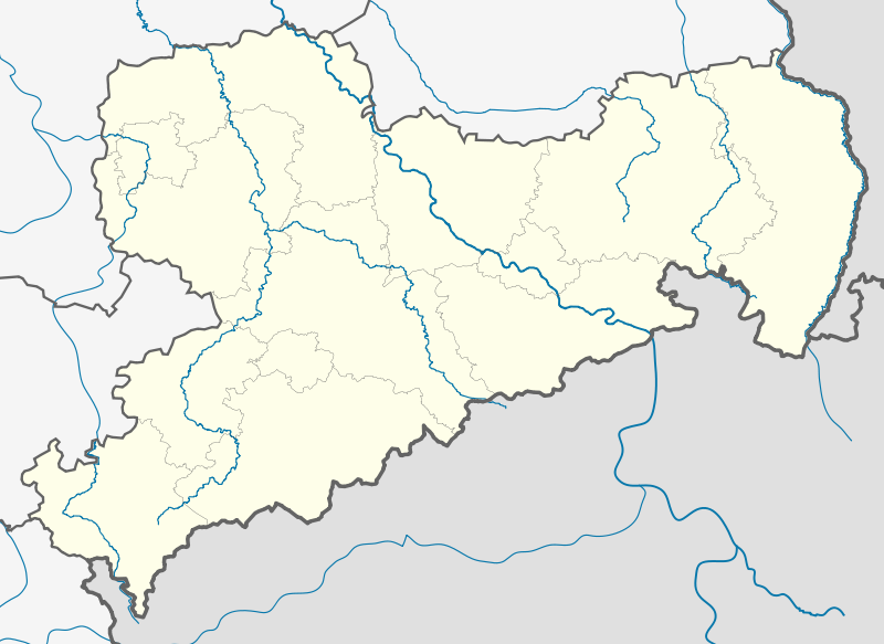
Orihinal nga paypay (SVG nga fayl, ginbabanabanahan nga 2,068 × 1,508 nga mga pixel, kadako han fayl: 214 nga KB)
Dalikyat nga pulong
| Tigtulidong |
Deutsch: Positionskarte Sachsen, Deutschland. Geographische Begrenzung der Karte:
English: Location map Saxony, Germany. Geographic limits of the map:
|
| Petsa | |
| Ginkuhaan |
own work, templates |
| Awtor | TUBS |
| Other versions |
|
| SVG genesis |

Palilisensya:
I, the copyright holder of this work, hereby publish it under the following licenses:

|
An permiso in ginhatag ha pagkopya, pagpakalat ngan/o pagliwat hinin nga dokumento ha ilarom han mga termino han GNU Free Documentation License, Version 1.2 o mas uruurhi nga version nga ginmantala han Free Software Foundation; nga may-ada waray Invariant Sections, waray Front-Cover Texts, ngan waray Back-Cover Texts. May-ada kopya hin lisensya nga ginlalakip ha seksyon nga may-ada pamagat nga GNU Free Documentation License. |
This file is licensed under the Creative Commons Attribution-Share Alike 3.0 Unported, 2.5 Generic, 2.0 Generic and 1.0 Generic license.
- Talwas ka:
- para han pagpasaro – para han pagkopya, pagpakalat ngan pagpadangat han buhat
- para han pagremix – pag-adapt han buhat
- Ha ilarom an masunod nga mga kondisyon:
- attribution – Kinahanglanon mo tagan hin kaangayan nga credit, paghatag hin sumpay ngadto ha lisensya, ngan igbutang an imo ginbag-ohan nga binuhat. Puydi mo ini buhaton ha bisan ano nga resonable nga pamaagi, pero diri nimo pagawson nga an naghatag hin lisensya nag-eendorso ha imo o ha imo paggamit.
- share alike – Kun imo ginsagol-hin-otro, gin-iba, o gin-hingayad han buhat, ikaw in angay gud là magpakalat han imo gin-amot ha ilarom la han [http:creativecommons.org/share-your-work/licensing-considerations/compatible-licenses pareho o naangay nga lisensya] sugad han orihinal.
Puydi ka pumili hin lisenysa nga karuyag mo.
Kaagi han paypay
Pidlita an adlaw/oras para makit-an an fayl nga naggawas hito nga oras.
| Pitsa/Oras | Thumbnail | Mga dimensyon | Gumaramit | Komento | |
|---|---|---|---|---|---|
| waray pa kasasapawi | 23:01, 28 Agosto 2012 | | 2,068 × 1,508 (214 nga KB) | TUBS | Nordgrenze korrigiert (insbesondere Nordostspitze von Ostsachsen) |
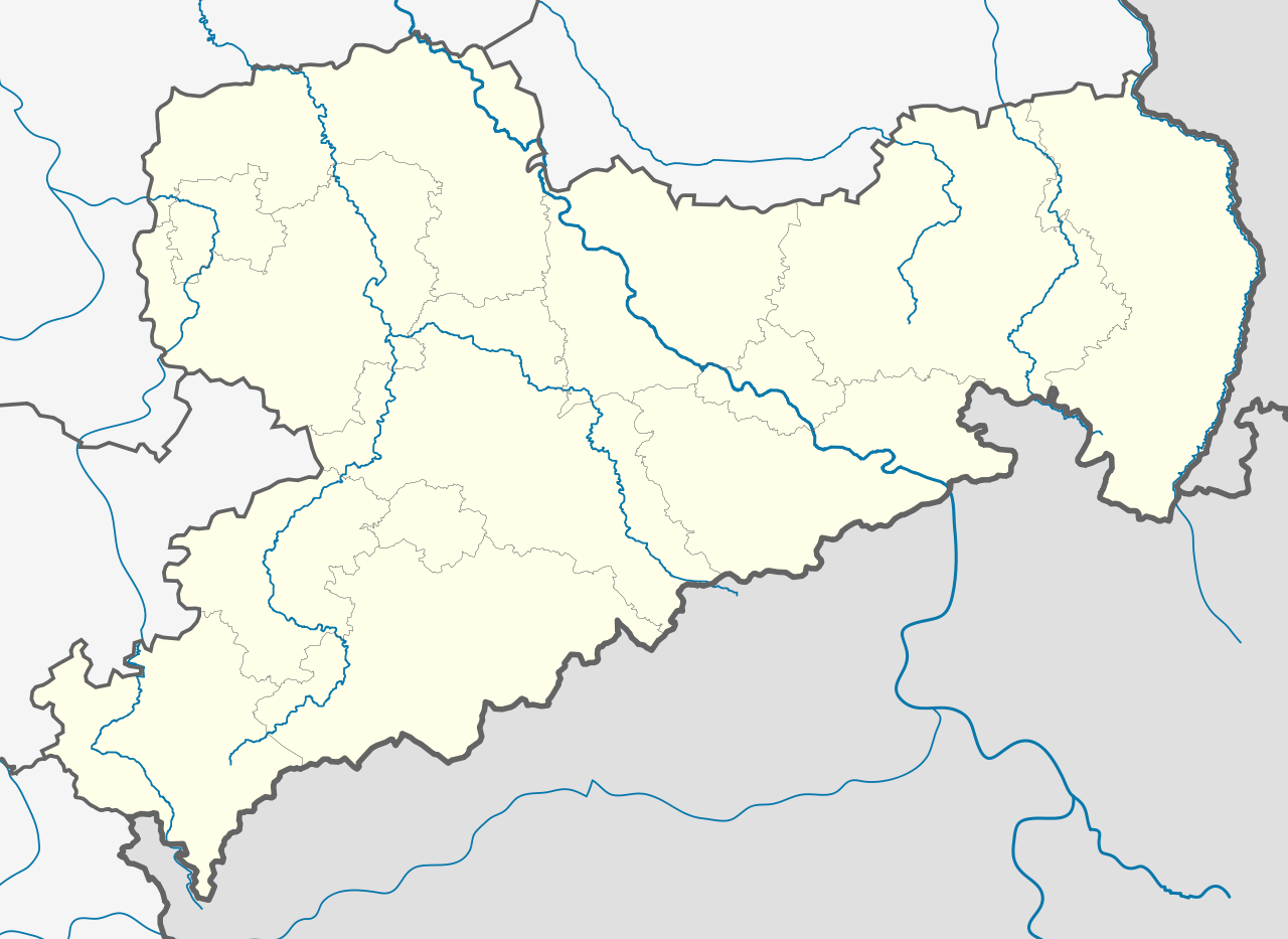
| 14:09, 7 Abril 2012 |  | 2,068 × 1,508 (799 nga KB) | Inkowik | Direktionsbezirke entfernt | |
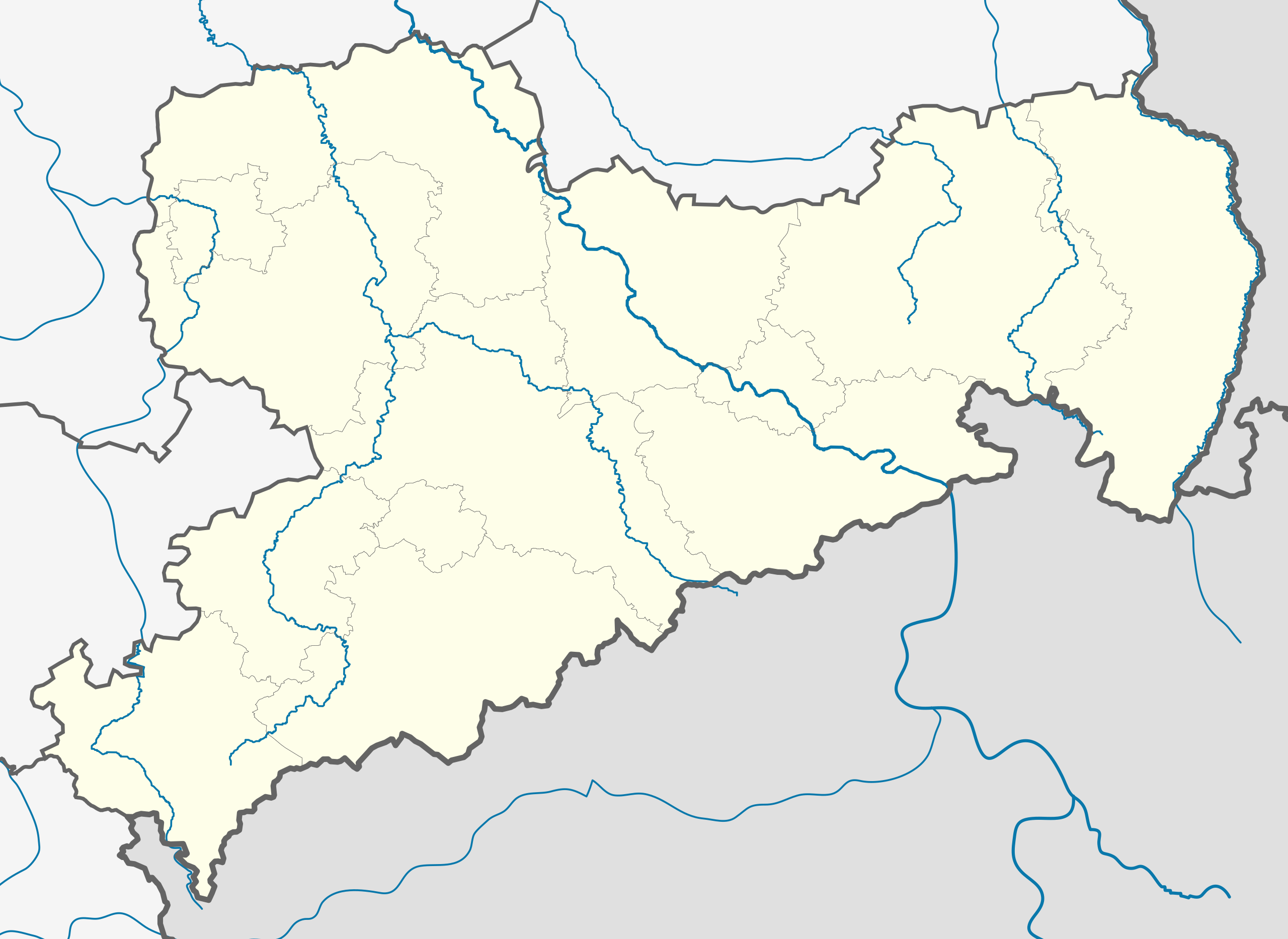
| 18:17, 30 Enero 2009 |  | 2,068 × 1,508 (836 nga KB) | TUBS | added some rivers, corrected border thickness, rivers color, etc. | |
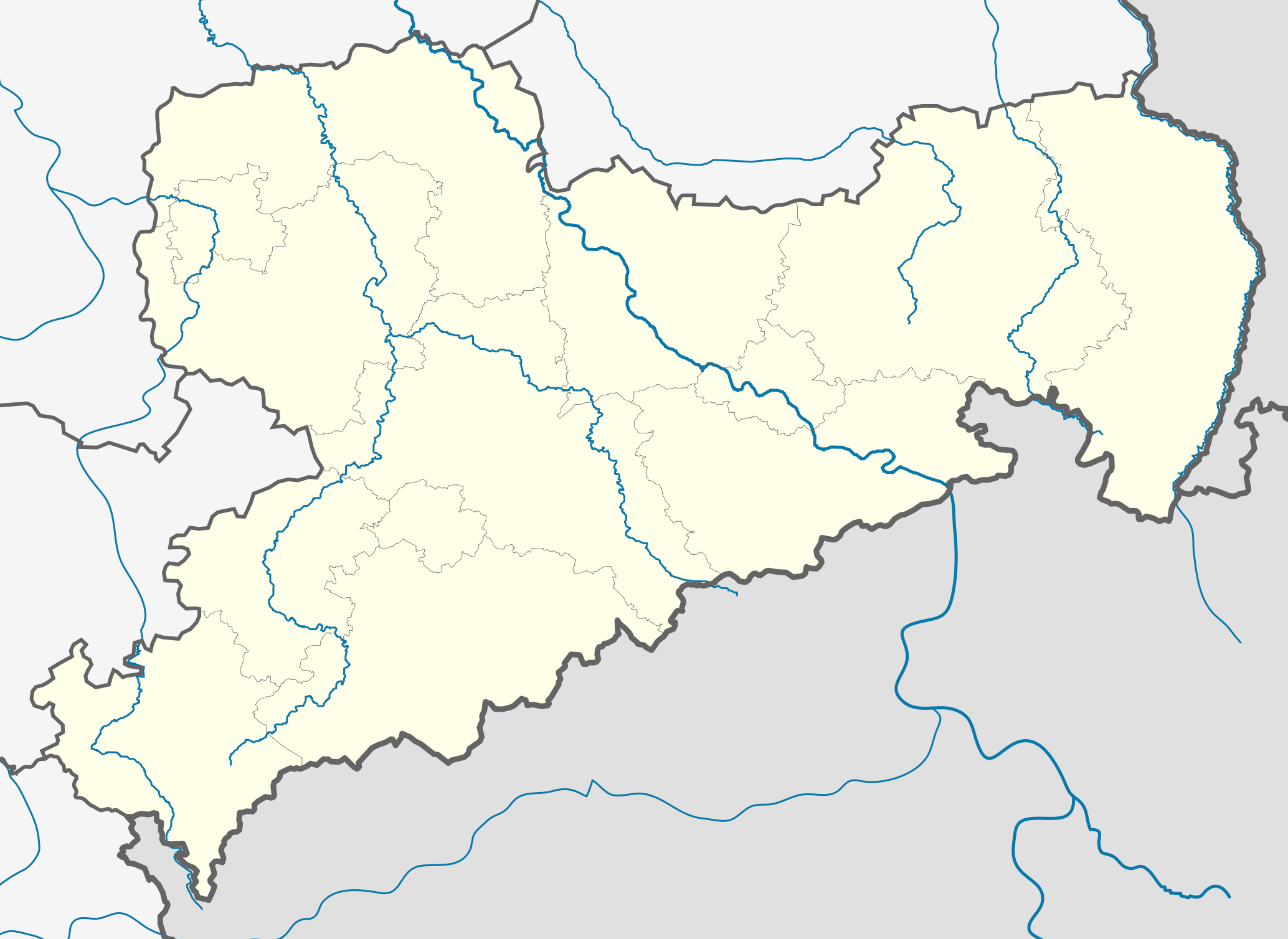
| 15:03, 30 Enero 2009 |  | 2,068 × 1,508 (830 nga KB) | TUBS | added some rivers (excluded still most rivers outside saxony) | |
| 11:07, 30 Enero 2009 |  | 2,068 × 1,508 (788 nga KB) | TUBS | == Summary == {{Information |Description= {{de|Positionskarte Sachsen, Deutschland. Geographische Begrenzung der Karte:}} {{en|Location map Saxony, Germany. Geographic limits of the map:}} * N: 53.xx° N * S: 50.xx° N * W |
Mga Sumpay
An mga nasunod nga mga pakli nasumpay hini nga paypay:
Global file usage
An masunod nga iba nga mga wiki in nagamit hini nga file:
- Paggamit ha ar.wikipedia.org
- Paggamit ha azb.wikipedia.org
- Paggamit ha az.wikipedia.org
- Paggamit ha ba.wikipedia.org
- Августусбург
- Адорф (Фогтланд)
- Айбау
- Айбеншток
- Айленбург
- Айхигт
- Альтенберг (Мәғдән тауҙары)
- Альтмитвайда
- Амтсберг
- Аннаберг-Буххольц
- Арнсдорф
- Арцберг (Саксония)
- Ауэ (Саксония)
- Ауэрбах (Мәғдән тауҙары)
- Ауэрбах (Фогтланд)
- Бёзенбрунн
- Бёлен (Саксония)
- Бёрнихен (Мәғдән тауҙары)
- Бад-Брамбах
- Бад-Готлойба-Берггисхюбель
- Бад-Дюбен
- Бад-Лаузик
- Бад-Мускау
- Бад-Шандау
- Бад-Шлема
- Бад-Эльстер
- Байерсдорф
- Байльроде
- Банневиц
- Бареталь
- Бельгерн
- Бельгерсхайн
- Бенневиц
- Берген (Фогтланд)
- Беренштайн (Мәғдән тауҙары)
- Бернсбах
- Бернсдорф (Үрге Лужица)
- Бернсдорф (район Цвиккау)
- Бернштадт-на-Айгене
- Бертельсдорф
- Бертсдорф-Хёрниц
- Бишофсверда
- Бобрич
- Бокау
Kitaa durudamo nga global usage hinin nga file.