Paypay:Saint Lucia location map.svg

Size of this PNG preview of this SVG file: 475 × 599 nga mga pixel. Iba nga mga resolusyon: 190 × 240 nga mga pixel | 380 × 480 nga mga pixel | 609 × 768 nga mga pixel | 812 × 1,024 nga mga pixel | 1,624 × 2,048 nga mga pixel | 1,060 × 1,337 nga mga pixel.
Orihinal nga paypay (SVG nga fayl, ginbabanabanahan nga 1,060 × 1,337 nga mga pixel, kadako han fayl: 114 nga KB)
Dalikyat nga pulong
| Tigtulidong |
Deutsch: Positionskarte von St. Lucia
Geographische Begrenzung der Karte:
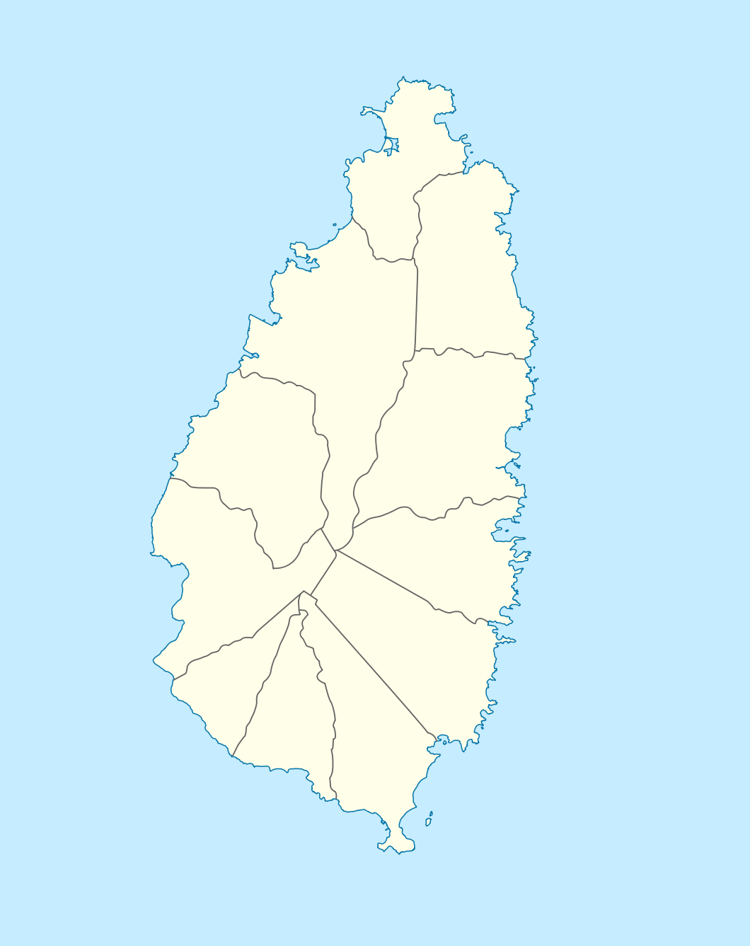
English: Location map of Saint Lucia
Geographic limits of the map:
|
||||||||||||
| Petsa | |||||||||||||
| Ginkuhaan |
Kalugaringon nga buhat, using |
||||||||||||
| Awtor | NordNordWest | ||||||||||||
| Pagtugot (Gin-uutro paggamit inin nga file) |
|

|
This map has been made or improved in the German Kartenwerkstatt (Map Lab). You can propose maps to improve as well.
|
Kaagi han paypay
Pidlita an adlaw/oras para makit-an an fayl nga naggawas hito nga oras.
| Pitsa/Oras | Thumbnail | Mga dimensyon | Gumaramit | Komento | |
|---|---|---|---|---|---|
| waray pa kasasapawi | 18:16, 18 Disyembre 2009 | | 1,060 × 1,337 (114 nga KB) | NordNordWest | == {{int:filedesc}} == {{Information |Description= {{de|Positionskarte von St. Lucia}} Geographische Begrenzung der Karte: * N: 14.15° N * S: 13.66° N * W: 61.16° W * O: 60.76° W {{en|Location map of Saint Lucia}} |
Mga Sumpay
An mga nasunod nga mga pakli nasumpay hini nga paypay:
Global file usage
An masunod nga iba nga mga wiki in nagamit hini nga file:
- Paggamit ha af.wikipedia.org
- Paggamit ha als.wikipedia.org
- Paggamit ha an.wikipedia.org
- Paggamit ha ar.wikipedia.org
- Paggamit ha ast.wikipedia.org
- Paggamit ha be-tarask.wikipedia.org
- Paggamit ha be.wikipedia.org
- Paggamit ha bg.wikipedia.org
- Paggamit ha bn.wikipedia.org
- Paggamit ha bs.wikipedia.org
- Paggamit ha ceb.wikipedia.org
- Plantilya:Location map Saint Lucia
- Rat Island
- Rat Islet
- Saint Lucia (pagklaro)
- Pigeon Island
- Chopin Ridge
- Black Bay
- Battery Point
- Union River
- Mamin River
- Mount Marquis
- Blanche Point
- Punchbowl
- Albert Point
- Pigeon Point
- Mount Morton
- Mount Bellevue
- Scorpion Island
- Esperance River
- Soufrière Bay
- Soufriere
- Mahaut River
- Petit Trou
- Beaumont Point
- Bonhomme Point
- Brandon Point
- Caesar Point
- Cap Point
- Cross Hill
- Dauphin River
- Falaise Point
- Georgie Point
Kitaa durudamo nga global usage hinin nga file.