Paypay:Rio Grande RT Hill 1899b.jpg

Kadako hin nga pahiuna nga pagawas: 800 × 582 nga mga pixel. Iba nga mga resolusyon: 320 × 233 nga mga pixel | 640 × 466 nga mga pixel | 1,024 × 745 nga mga pixel | 1,280 × 931 nga mga pixel | 2,560 × 1,862 nga mga pixel | 4,432 × 3,224 nga mga pixel.
Orihinal nga paypay (4,432 × 3,224 nga pixel, kadako han fayl: 3.06 nga MB, MIME nga tipo: image/jpeg)
Dalikyat nga pulong
| Tigtulidong |
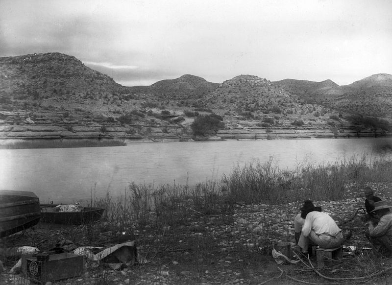
English: Rio Grande near San Francisco Creek. USGS survey party led by Robert T. Hill in right foreground. Brewster County, Texas. 1899. |
| Petsa | |
| Ginkuhaan | U.S. Geological Survey Photographic Library, http://libraryphoto.cr.usgs.gov/ |
| Awtor | Robert T. Hill |
| Camera location | | View this and other nearby images on: OpenStreetMap |
|---|
Palilisensya:
This image is in the public domain in the United States because it only contains materials that originally came from the United States Geological Survey, an agency of the United States Department of the Interior. For more information, see the official USGS copyright policy.
|
Kaagi han paypay
Pidlita an adlaw/oras para makit-an an fayl nga naggawas hito nga oras.
| Pitsa/Oras | Thumbnail | Mga dimensyon | Gumaramit | Komento | |
|---|---|---|---|---|---|
| waray pa kasasapawi | 02:45, 20 Oktubre 2009 | | 4,432 × 3,224 (3.06 nga MB) | Leaflet | {{Information |Description={{en|1=Rio Grande near San Francisco Creek. Robert T. Hill's USGS survey party eating in right foreground. Brewster County, Texas. 1899.}} |Source=U.S. Geological Survey Photographic Library, http://libraryphoto.cr.usgs.gov/ |A |
Mga Sumpay
An mga nasunod nga mga pakli nasumpay hini nga paypay:
Global file usage
An masunod nga iba nga mga wiki in nagamit hini nga file:
- Paggamit ha da.wikipedia.org
- Paggamit ha de.wikipedia.org
- Paggamit ha en.wikipedia.org
- Paggamit ha incubator.wikimedia.org
- Paggamit ha ko.wikipedia.org
- Paggamit ha mk.wikipedia.org
- Paggamit ha pnb.wikipedia.org
- Paggamit ha sco.wikipedia.org