Paypay:Relief map of California.png

Kadako hin nga pahiuna nga pagawas: 523 × 599 nga mga pixel. Iba nga mga resolusyon: 209 × 240 nga mga pixel | 419 × 480 nga mga pixel | 681 × 780 nga mga pixel.
Orihinal nga paypay (681 × 780 nga pixel, kadako han fayl: 647 nga KB, MIME nga tipo: image/png)

|
This map image could be re-created using vector graphics as an SVG file. This has several advantages; see Commons:Media for cleanup for more information. If an SVG form of this image is available, please upload it and afterwards replace this template with
{{vector version available|new image name}}.
It is recommended to name the SVG file “Relief map of California.svg”—then the template Vector version available (or Vva) does not need the new image name parameter. |
Dalikyat nga pulong
| Tigtulidong |
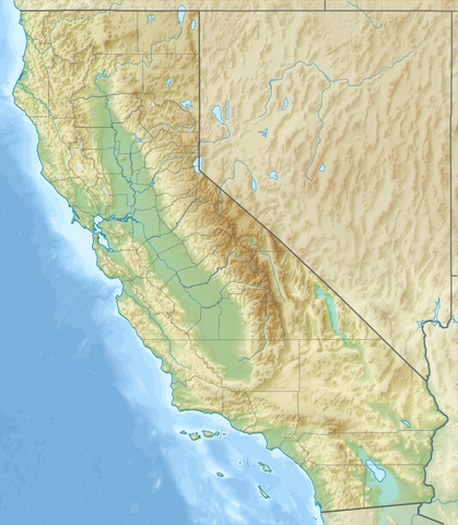
Русский: Физическая карта Калифорнии (США).
English: Relief map of California, USA. |
| Petsa | |
| Ginkuhaan |
|
| Awtor | Nzeemin |
| Other versions |
|


Palilisensya:
I, the copyright holder of this work, hereby publish it under the following license:
Ini nga file in nakalisensya ha ilarom han Creative Commons Attribution-Share Alike 3.0 Unported license.
- Talwas ka:
- para han pagpasaro – para han pagkopya, pagpakalat ngan pagpadangat han buhat
- para han pagremix – pag-adapt han buhat
- Ha ilarom an masunod nga mga kondisyon:
- attribution – Kinahanglanon mo tagan hin kaangayan nga credit, paghatag hin sumpay ngadto ha lisensya, ngan igbutang an imo ginbag-ohan nga binuhat. Puydi mo ini buhaton ha bisan ano nga resonable nga pamaagi, pero diri nimo pagawson nga an naghatag hin lisensya nag-eendorso ha imo o ha imo paggamit.
- share alike – Kun imo ginsagol-hin-otro, gin-iba, o gin-hingayad han buhat, ikaw in angay gud là magpakalat han imo gin-amot ha ilarom la han [http:creativecommons.org/share-your-work/licensing-considerations/compatible-licenses pareho o naangay nga lisensya] sugad han orihinal.
Kaagi han paypay
Pidlita an adlaw/oras para makit-an an fayl nga naggawas hito nga oras.
| Pitsa/Oras | Thumbnail | Mga dimensyon | Gumaramit | Komento | |
|---|---|---|---|---|---|
| waray pa kasasapawi | 20:22, 21 Disyembre 2016 | | 681 × 780 (647 nga KB) | Jeanjung212 | Lossless Compressed/optimized png decreasing file size by 115184 bytes |
| 16:03, 14 Oktubre 2012 |  | 681 × 780 (760 nga KB) | Nzeemin | mask for Mexica | |
| 08:55, 14 Oktubre 2012 |  | 681 × 780 (760 nga KB) | Nzeemin | User created page with UploadWizard |
Mga Sumpay
An mga nasunod nga mga pakli nasumpay hini nga paypay:
Global file usage
An masunod nga iba nga mga wiki in nagamit hini nga file:
- Paggamit ha af.wikipedia.org
- Paggamit ha ar.wikipedia.org
- Paggamit ha ast.wikipedia.org
- Paggamit ha azb.wikipedia.org
- لوسآنجلس
- چالفانت، کالیفورنیا
- پارکفیلد، کالیفورنیا
- سیرکل اوکس، کالیفورنیا
- پاچکو (کالیفورنیا)
- ایستاب هاب سنتر ایستادیومو
- اورلاند، کالیفورنیا
- پاسیفیکا، کالیفورنیا
- پالمدئیل، کالیفورنیا
- زکوندیدو، کالیفورنیا
- اورکا، کالیفورنیا
- پاسئیدنا، کالیفورنیا
- پریس، کالیفورنیا
- پورترویل، کالیفورنیا
- رد بلوف، کالیفورنیا
- ردینق، کالیفورنیا
- ردلاندز، کالیفورنیا
- کالاباساس، کالیفورنیا
- ویکتورویل، کالیفورنیا
- ریدجکرزت، کالیفورنیا
- کاماریلو، کالیفورنیا
- کارلسباد، کالیفورنیا
- سرز، کالیفورنیا
- هاوتورن، کالیفورنیا
- همت، کالیفورنیا
- سالیناس، کالیفورنیا
- سانتا آنا، کالیفورنیا
- لانکاستر، کالیفورنیا
- مئیدرا، کالیفورنیا
- مالیبو، کالیفورنیا
- Paggamit ha az.wikipedia.org
- Paggamit ha ban.wikipedia.org
Kitaa durudamo nga global usage hinin nga file.