Paypay:Northlasv.jpg
Kadako hin nga pahiuna nga pagawas: 800 × 292 nga mga pixel. Iba nga mga resolusyon: 320 × 117 nga mga pixel | 1,011 × 369 nga mga pixel.
Orihinal nga paypay (1,011 × 369 nga pixel, kadako han fayl: 123 nga KB, MIME nga tipo: image/jpeg)
Dalikyat nga pulong
| Tigtulidong |
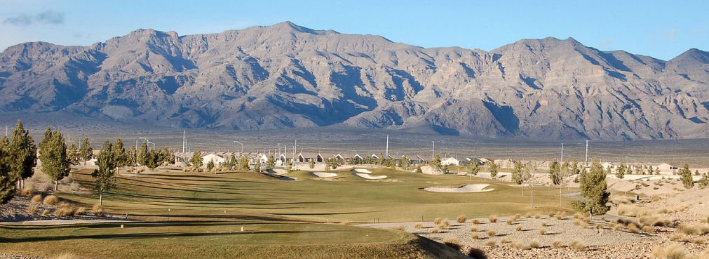
English: The southern section of the Las Vegas Range, and the Aliante Golf Club in the Las Vegas Valley — in Clark County, southern Nevada.
|
| Ginkuhaan | Kalugaringon nga buhat |
| Awtor | Meridethmyers |
Palilisensya:
| I, the copyright holder of this work, release this work into the public domain. This applies worldwide. In some countries this may not be legally possible; if so: I grant anyone the right to use this work for any purpose, without any conditions, unless such conditions are required by law. |
Kaagi han paypay
Pidlita an adlaw/oras para makit-an an fayl nga naggawas hito nga oras.
| Pitsa/Oras | Thumbnail | Mga dimensyon | Gumaramit | Komento | |
|---|---|---|---|---|---|
| waray pa kasasapawi | 22:04, 3 Mayo 2008 | 1,011 × 369 (123 nga KB) | Meridethmyers~commonswiki | {{Information |Description= |Source=self-made |Date= |Author= Meridethmyers |Permission= |other_versions= }} |
Mga Sumpay
An mga nasunod nga mga pakli nasumpay hini nga paypay:
Global file usage
An masunod nga iba nga mga wiki in nagamit hini nga file:
- Paggamit ha ar.wikipedia.org
- Paggamit ha arz.wikipedia.org
- Paggamit ha azb.wikipedia.org
- Paggamit ha be-tarask.wikipedia.org
- Paggamit ha br.wikipedia.org
- Paggamit ha bs.wikipedia.org
- Paggamit ha ceb.wikipedia.org
- Paggamit ha de.wikipedia.org
- Paggamit ha en.wikipedia.org
- Paggamit ha en.wikivoyage.org
- Paggamit ha eo.wikipedia.org
- Paggamit ha es.wikipedia.org
- Paggamit ha fa.wikipedia.org
- Paggamit ha fi.wikipedia.org
- Paggamit ha fr.wikipedia.org
- Paggamit ha id.wikipedia.org
- Paggamit ha ja.wikipedia.org
- Paggamit ha kw.wikipedia.org
- Paggamit ha no.wikipedia.org
- Paggamit ha pms.wikipedia.org
- Paggamit ha pt.wikipedia.org
- Paggamit ha ru.wikipedia.org
- Paggamit ha simple.wikipedia.org
- Paggamit ha sw.wikipedia.org
- Paggamit ha tl.wikipedia.org
- Paggamit ha tr.wikipedia.org
- Paggamit ha uk.wikipedia.org
- Paggamit ha uz.wikipedia.org
- Paggamit ha www.wikidata.org
- Paggamit ha zh.wikipedia.org