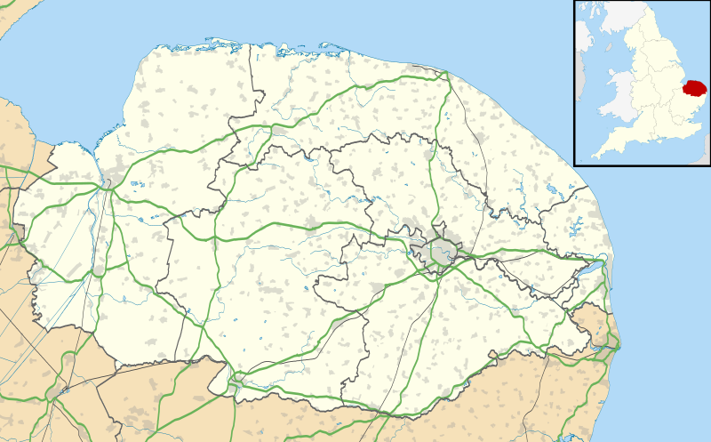
Paypay:Norfolk UK location map.svg

Size of this PNG preview of this SVG file: 800 × 497 nga mga pixel. Iba nga mga resolusyon: 320 × 199 nga mga pixel | 640 × 398 nga mga pixel | 1,024 × 637 nga mga pixel | 1,280 × 796 nga mga pixel | 2,560 × 1,592 nga mga pixel | 1,425 × 886 nga mga pixel.
Orihinal nga paypay (SVG nga fayl, ginbabanabanahan nga 1,425 × 886 nga mga pixel, kadako han fayl: 1.93 nga MB)
Kaagi han paypay
Pidlita an adlaw/oras para makit-an an fayl nga naggawas hito nga oras.
| Pitsa/Oras | Thumbnail | Mga dimensyon | Gumaramit | Komento | |
|---|---|---|---|---|---|
| waray pa kasasapawi | 19:05, 26 Septyembre 2010 |  | 1,425 × 886 (1.93 nga MB) | Nilfanion | {{Information |Description=Map of Norfolk, UK with the following information shown: *Administrative borders *Coastline, lakes and rivers *Roads and railways *Urban areas Equirectangular map projection on WGS 84 datum, with N/S stretched 160 |
Mga Sumpay
An mga nasunod nga mga pakli nasumpay hini nga paypay:
Global file usage
An masunod nga iba nga mga wiki in nagamit hini nga file:
- Paggamit ha af.wikipedia.org
- Paggamit ha ar.wikipedia.org
- Paggamit ha bg.wikipedia.org
- Paggamit ha ceb.wikipedia.org
- Paggamit ha cs.wikipedia.org
- Paggamit ha en.wikipedia.org
- Barton Turf
- Great Yarmouth
- Wroxham
- Ingham, Norfolk
- Burgh Castle
- Horning
- Ranworth
- Blakeney, Norfolk
- Cley next the Sea
- Reedham, Norfolk
- Wayford Bridge
- Coltishall
- Dilham
- Neatishead
- Belaugh
- Woodbastwick
- South Walsham
- Martham
- Thurne
- Potter Heigham
- Caister-on-Sea
- Hunstanton
- King's Lynn
- Swaffham
- Sheringham
- St Benet's Abbey
- Loddon, Norfolk
- St Olaves
- Ditchingham
- Halvergate Marshes
- Strumpshaw
- Halvergate
- Wymondham
- Sheringham Park
- Snettisham
- Hoveton
- Salhouse
Kitaa durudamo nga global usage hinin nga file.