Paypay:Near East topographic map-blank.svg

Size of this PNG preview of this SVG file: 800 × 522 nga mga pixel. Iba nga mga resolusyon: 320 × 209 nga mga pixel | 640 × 417 nga mga pixel | 1,024 × 668 nga mga pixel | 1,280 × 835 nga mga pixel | 2,560 × 1,669 nga mga pixel | 2,425 × 1,581 nga mga pixel.
Orihinal nga paypay (SVG nga fayl, ginbabanabanahan nga 2,425 × 1,581 nga mga pixel, kadako han fayl: 2.33 nga MB)
Dalikyat nga pulong
| Camera location | | View this and other nearby images on: OpenStreetMap |
|---|
Palilisensya:
I, the copyright holder of this work, hereby publish it under the following licenses:
| Copyleft: This work of art is free; you can redistribute it and/or modify it according to terms of the Free Art License. You will find a specimen of this license on the Copyleft Attitude site as well as on other sites. |
This file is licensed under the Creative Commons Attribution-Share Alike 4.0 International, 3.0 Unported, 2.5 Generic, 2.0 Generic and 1.0 Generic license.
- Talwas ka:
- para han pagpasaro – para han pagkopya, pagpakalat ngan pagpadangat han buhat
- para han pagremix – pag-adapt han buhat
- Ha ilarom an masunod nga mga kondisyon:
- attribution – Kinahanglanon mo tagan hin kaangayan nga credit, paghatag hin sumpay ngadto ha lisensya, ngan igbutang an imo ginbag-ohan nga binuhat. Puydi mo ini buhaton ha bisan ano nga resonable nga pamaagi, pero diri nimo pagawson nga an naghatag hin lisensya nag-eendorso ha imo o ha imo paggamit.
- share alike – Kun imo ginsagol-hin-otro, gin-iba, o gin-hingayad han buhat, ikaw in angay gud là magpakalat han imo gin-amot ha ilarom la han [http:creativecommons.org/share-your-work/licensing-considerations/compatible-licenses pareho o naangay nga lisensya] sugad han orihinal.
Puydi ka pumili hin lisenysa nga karuyag mo.
Kaagi han paypay
Pidlita an adlaw/oras para makit-an an fayl nga naggawas hito nga oras.
| Pitsa/Oras | Thumbnail | Mga dimensyon | Gumaramit | Komento | |
|---|---|---|---|---|---|
| waray pa kasasapawi | 18:31, 18 Agosto 2009 | | 2,425 × 1,581 (2.33 nga MB) | Sémhur | 3 - New try |
| 15:39, 17 Agosto 2009 |  | 2,425 × 1,581 (1.73 nga MB) | Sémhur | 2 - With the background... | |
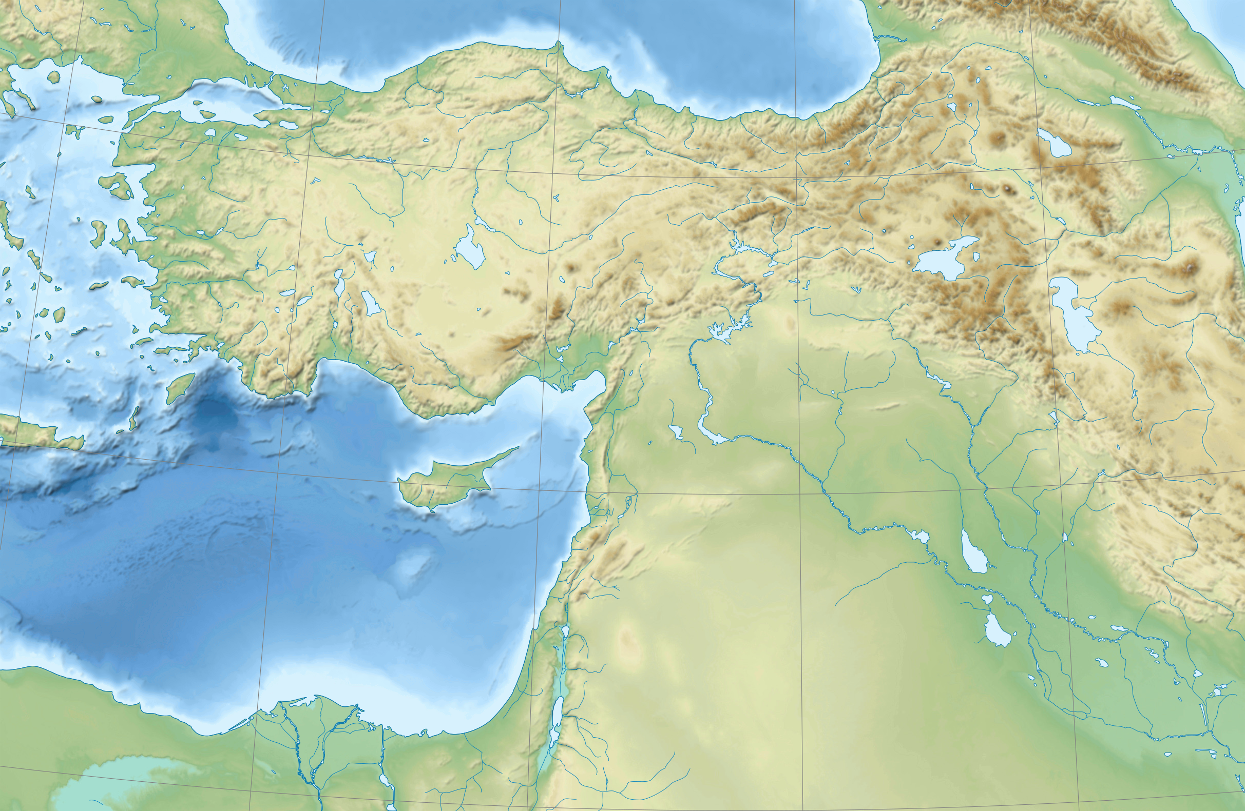
| 15:37, 17 Agosto 2009 |  | 2,425 × 1,581 (3 nga KB) | Sémhur | {{Information |Description={{en|1=Blank physical map of the Near East}} {{fr|1=Carte physique vierge du Proche-Orient.}} |Source={{own}} |Author=Sémhur |Date=2008-08-17 |Permission= |other_versions |
Mga Sumpay
An mga nasunod nga mga pakli nasumpay hini nga paypay:
Global file usage
An masunod nga iba nga mga wiki in nagamit hini nga file:
- Paggamit ha ar.wikipedia.org
- Paggamit ha arz.wikipedia.org
- Paggamit ha azb.wikipedia.org
- Paggamit ha bn.wikipedia.org
- Paggamit ha de.wikipedia.org
- Paggamit ha en.wikipedia.org
- Near East
- Retjenu
- Ottoman Army (1861–1922)
- Module:Location map/data/Ottoman Empire1914
- User:Zoeperkoe/sandbox
- Module:Location map/data/Ottoman Empire1914/doc
- User:Falcaorib
- User:Kentronhayastan/Origin of the Armenians
- Causes of the Armenian genocide
- User:Maka'alaKaono/sandbox
- User:Maka'alaKaono/Retjenu
- Paggamit ha fr.wikipedia.org
- Paggamit ha ku.wikipedia.org
- Paggamit ha la.wikipedia.org
- Paggamit ha pt.wikipedia.org
- Paggamit ha ru.wikipedia.org
- Paggamit ha sd.wikipedia.org
- Paggamit ha si.wikipedia.org
- Paggamit ha th.wikipedia.org
- Paggamit ha zh.wikipedia.org