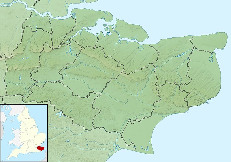
Paypay:Kent UK relief location map.jpg

Kadako hin nga pahiuna nga pagawas: 800 × 561 nga mga pixel. Iba nga mga resolusyon: 320 × 224 nga mga pixel | 640 × 449 nga mga pixel | 1,024 × 718 nga mga pixel | 1,280 × 898 nga mga pixel | 1,999 × 1,402 nga mga pixel.
Orihinal nga paypay (1,999 × 1,402 nga pixel, kadako han fayl: 301 nga KB, MIME nga tipo: image/jpeg)
Kaagi han paypay
Pidlita an adlaw/oras para makit-an an fayl nga naggawas hito nga oras.
| Pitsa/Oras | Thumbnail | Mga dimensyon | Gumaramit | Komento | |
|---|---|---|---|---|---|
| waray pa kasasapawi | 01:42, 29 Nobyembre 2011 |  | 1,999 × 1,402 (301 nga KB) | Nilfanion | {{Information |Description=Relief map of Kent, UK. Equirectangular map projection on WGS 84 datum, with N/S stretched 160% Geographic limits: *West: 0.01E *East: 1.47E *North: 51.52N *South: 50.88N |Source=[[w:Ordnance Survey|Ordnance Survey] |
Mga Sumpay
An mga nasunod nga mga pakli nasumpay hini nga paypay:
Global file usage
An masunod nga iba nga mga wiki in nagamit hini nga file:
- Paggamit ha ar.wikipedia.org
- Paggamit ha bg.wikipedia.org
- Paggamit ha ceb.wikipedia.org
- Paggamit ha el.wikipedia.org
- Paggamit ha en.wikipedia.org
- John Dixwell
- Ightham Mote
- Chartwell
- Bewl Water
- Volvo World Match Play Championship
- Royal Cinque Ports Golf Club
- Michael Livesey
- Medway Gap
- London Seniors Masters
- Walmer Lifeboat Station
- Spade House
- Betsom's Hill
- Cliffe Fort
- The Grange, Ramsgate
- 1993 Open Championship
- Long Barn
- Ramsgate Lifeboat Station
- Nathaniel Rich (soldier)
- Capel Manor House
- User:Jokulhlaup/draftarticle21
- Broome Park
- St Augustine's Abbey
- Margate Lifeboat Station
- Whitstable Lifeboat Station
- Sheerness Lifeboat Station
- Dover Lifeboat Station
- SS Maloja
- Poundsbridge Manor
- Dover lorry deaths
- Thanet & District Reform Synagogue
- Module:Location map/data/United Kingdom Kent
- Module:Location map/data/Kent
Kitaa durudamo nga global usage hinin nga file.