Paypay:Indian subcontinent.JPG
Waray mas hiruhitaas nga resolusyon.
Indian_subcontinent.JPG (442 × 545 nga pixel, kadako han fayl: 22 nga KB, MIME nga tipo: image/jpeg)
Dalikyat nga pulong
| Tigtulidong |
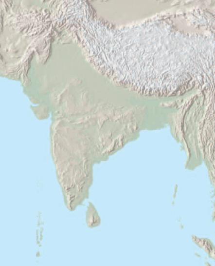
English: Geographical map of the Indian subcontinent.
Palilisensya:
|
|||||||
| Petsa | Waray kasabti an petsa | |||||||
| Ginkuhaan | https://www.cia.gov/library/publications/the-world-factbook/reference_maps/pdf/asia.pdf | |||||||
| Awtor | CIA (edited by User:Deepak) |


Palilisensya:
This image is in the public domain because it contains materials that originally came from the United States Central Intelligence Agency's World Factbook.
|
 |
Kaagi han paypay
Pidlita an adlaw/oras para makit-an an fayl nga naggawas hito nga oras.
| Pitsa/Oras | Thumbnail | Mga dimensyon | Gumaramit | Komento | |
|---|---|---|---|---|---|
| waray pa kasasapawi | 17:20, 6 Agosto 2008 | | 442 × 545 (22 nga KB) | Deepak~commonswiki | {{Information |Description= |Source= |Date= |Author= |Permission= |other_versions= }} |
| 17:11, 6 Agosto 2008 |  | 418 × 549 (22 nga KB) | Deepak~commonswiki | {{Information |Description={{en|1={{Information |Description={{en|<small>The image is an edited version of Image:South asia.jpg, created and published by the en:Central Intelligence Agency of the en:United States of America in en:2004. |
Mga Sumpay
Waray pakli nga nagamit hinin nga file.
Global file usage
An masunod nga iba nga mga wiki in nagamit hini nga file:
- Paggamit ha ang.wikipedia.org
- Paggamit ha ar.wikipedia.org
- Paggamit ha ast.wiktionary.org
- Paggamit ha ba.wikipedia.org
- Paggamit ha bn.wikipedia.org
- Paggamit ha en.wikipedia.org
- Paggamit ha en.wiktionary.org
- Paggamit ha eo.wikipedia.org
- Paggamit ha es.wikipedia.org
- Paggamit ha fa.wikipedia.org
- Paggamit ha gu.wikipedia.org
- Paggamit ha hi.wikipedia.org
- Paggamit ha kn.wikipedia.org
- Paggamit ha la.wikipedia.org
- Paggamit ha lt.wikipedia.org
- Paggamit ha mdf.wikipedia.org
- Paggamit ha ml.wikipedia.org
- Paggamit ha pt.wikipedia.org
- Paggamit ha ru.wikipedia.org
- Paggamit ha ru.wikinews.org
- Paggamit ha sa.wikipedia.org
- Paggamit ha sl.wikipedia.org
- Paggamit ha ta.wikipedia.org
- Paggamit ha vi.wikipedia.org
- Paggamit ha zh.wikipedia.org