Paypay:Hokkaidō géolocalisation.svg

Size of this PNG preview of this SVG file: 647 × 599 nga mga pixel. Iba nga mga resolusyon: 259 × 240 nga mga pixel | 518 × 480 nga mga pixel | 829 × 768 nga mga pixel | 1,106 × 1,024 nga mga pixel | 2,211 × 2,048 nga mga pixel | 1,720 × 1,593 nga mga pixel.
Orihinal nga paypay (SVG nga fayl, ginbabanabanahan nga 1,720 × 1,593 nga mga pixel, kadako han fayl: 1.39 nga MB)
Dalikyat nga pulong
| Camera location | | View this and other nearby images on: OpenStreetMap |
|---|
| Tigtulidong |
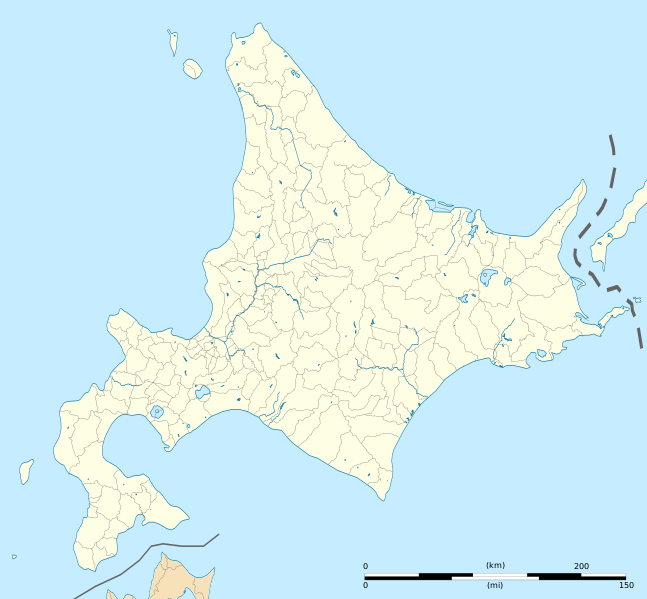
Deutsch: Karte der Hokkaidō.
English: Blank map of Hokkaido, for geolocalisation purpose.
Español: Mapa de Hokkaidō.
Italiano: Mappa de it:Hokkaidō.
日本語: 北海道の地図.
Português: Carta de Hokkaido.
|
||
| Petsa | (UTC) | ||
| Ginkuhaan |
Création personnelle ;
|
||
| Awtor | © Bourrichon (talk) - fr:Bourrichon | ||
| Pagtugot (Gin-uutro paggamit inin nga file) |
|
||
| Other versions |
|


|
This SVG file contains embedded text that can be translated into your language, using any capable SVG editor, text editor or the SVG Translate tool. For more information see: About translating SVG files. |
This W3C-unspecified vector image was created with Inkscape .
Palilisensya:
I, the copyright holder of this work, hereby publish it under the following license:
This file is licensed under the Creative Commons Attribution-Share Alike 2.0 France license.
Attribution: Bourrichon (atelier graphique)
- Talwas ka:
- para han pagpasaro – para han pagkopya, pagpakalat ngan pagpadangat han buhat
- para han pagremix – pag-adapt han buhat
- Ha ilarom an masunod nga mga kondisyon:
- attribution – Kinahanglanon mo tagan hin kaangayan nga credit, paghatag hin sumpay ngadto ha lisensya, ngan igbutang an imo ginbag-ohan nga binuhat. Puydi mo ini buhaton ha bisan ano nga resonable nga pamaagi, pero diri nimo pagawson nga an naghatag hin lisensya nag-eendorso ha imo o ha imo paggamit.
- share alike – Kun imo ginsagol-hin-otro, gin-iba, o gin-hingayad han buhat, ikaw in angay gud là magpakalat han imo gin-amot ha ilarom la han [http:creativecommons.org/share-your-work/licensing-considerations/compatible-licenses pareho o naangay nga lisensya] sugad han orihinal.

Kaagi han paypay
Pidlita an adlaw/oras para makit-an an fayl nga naggawas hito nga oras.
| Pitsa/Oras | Thumbnail | Mga dimensyon | Gumaramit | Komento | |
|---|---|---|---|---|---|
| waray pa kasasapawi | 10:15, 3 Abril 2022 | | 1,720 × 1,593 (1.39 nga MB) | Peka | add some lakes, change a disputed border (continuous line to dashed line) |
| 23:12, 1 Hulyo 2013 |  | 1,720 × 1,593 (1.41 nga MB) | Bourrichon | cours d'eau 1,5px | |
| 22:57, 1 Hulyo 2013 |  | 1,720 × 1,593 (1.39 nga MB) | Bourrichon | ||
| 22:41, 1 Hulyo 2013 |  | 1,720 × 1,593 (674 nga KB) | Bourrichon | == {{int:filedesc}} == {{Location|43|00|00|N|142|00|00|E|scale:5000000}} {{Information |Description= {{fr|Carte vierge de l'île de fr:Hokkaidō, au Japon, destinée à la géolocalisation.}} {{de|Karte der de:Hokkaidō.}} {... |
Mga Sumpay
An mga nasunod nga mga pakli nasumpay hini nga paypay:
Global file usage
An masunod nga iba nga mga wiki in nagamit hini nga file:
- Paggamit ha ar.wikipedia.org
- Paggamit ha ceb.wikipedia.org
- Paggamit ha de.wikipedia.org
- Sapporo Dome
- Ōkurayama-Schanze
- Miyanomori-Schanze
- Kernkraftwerk Tomari
- Flughafen Hakodate
- Flughafen Kushiro
- Flughafen Obihiro
- Makomanai-Hallenstadion
- Vorlage:Positionskarte Japan Präfektur Hokkaidō
- Hokkaidōritsu Sōgō Taiiku Center
- Bahnhof Tokachi-Mitsumata
- Kraftwerk Tomatō-Atsuma
- Makomanai-Stadion
- Tsukisamu-Sporthalle
- Sapporo Atsubetsu Stadium
- Sapporo-Maruyama-Zoo
- Asahiyama Zoo
- Paggamit ha en.wikipedia.org
- Hokkaido University
- Asahikawa Airport
- Okadama Airport
- Hakodate Airport
- Monbetsu Airport
- Engaru, Hokkaido
- Sapporo Station
- Kikonai Station
- Chitose Air Base
- Kushiro Airport
- Wakkanai Airport
- Yoshioka-Kaitei Station
- Hakodate Station
- Goryōkaku Station
- Nanae Station
- Ōnuma Station
- Mori Station (Hokkaido)
- Oshamambe Station
- Rankoshi Station
- Niseko Station
- Kutchan Station
- Otaru Station
- Tomakomai Station
- Oiwake Station (Hokkaido)
- Minami-Chitose Station
- Yunotai Station
- Esashi Station
- Kamiiso Station
- Nanaehama Station
- Shin-Yūbari Station
Kitaa durudamo nga global usage hinin nga file.