Paypay:Enfield London UK location map.svg

Size of this PNG preview of this SVG file: 750 × 600 nga mga pixel. Iba nga mga resolusyon: 300 × 240 nga mga pixel | 600 × 480 nga mga pixel | 960 × 768 nga mga pixel | 1,280 × 1,024 nga mga pixel | 2,560 × 2,048 nga mga pixel | 1,425 × 1,140 nga mga pixel.
Orihinal nga paypay (SVG nga fayl, ginbabanabanahan nga 1,425 × 1,140 nga mga pixel, kadako han fayl: 4.18 nga MB)
| Tigtulidong |
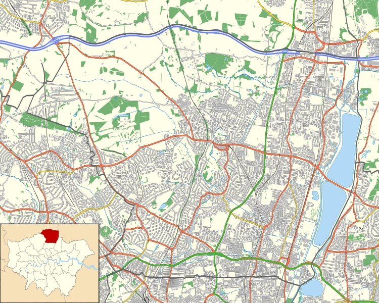
Location map of the London Borough of Enfield with the following information shown:
Equirectangular map projection on WGS 84 datum, with N/S stretched 160% Geographic limits:
|
| Petsa | |
| Ginkuhaan |
|
| Awtor | Nilfanion |
| Pagtugot (Gin-uutro paggamit inin nga file) |
Ini nga file in nakalisensya ha ilarom han Creative Commons Attribution-Share Alike 3.0 Unported license. Attribution: Contains Ordnance Survey data © Crown copyright and database right
|
Kaagi han paypay
Pidlita an adlaw/oras para makit-an an fayl nga naggawas hito nga oras.
| Pitsa/Oras | Thumbnail | Mga dimensyon | Gumaramit | Komento | |
|---|---|---|---|---|---|
| waray pa kasasapawi | 23:02, 15 Nobyembre 2011 | | 1,425 × 1,140 (4.18 nga MB) | Nilfanion | {{Information |Description=Location map of the London Borough of Enfield with the following information shown: *{{legend|#646464|Ward boundaries}} *{{legend|#667fff|Motorways}} *{{legend|#4cb336|Primary routes}} *{{legend|# |
Mga Sumpay
An mga nasunod nga mga pakli nasumpay hini nga paypay:
Global file usage
An masunod nga iba nga mga wiki in nagamit hini nga file:
- Paggamit ha ar.wikipedia.org
- Paggamit ha ceb.wikipedia.org
- Paggamit ha en.wikipedia.org
- Chase Farm Hospital
- William Girling Reservoir
- King George V Reservoir
- Highlands Hospital
- Forty Hall
- Greentrees Hospital
- Module:Location map/data/United Kingdom London Enfield/doc
- User:Beamjockey/sandbox
- The Fox, Palmers Green
- Fallow Buck Inn
- The Rose and Crown, Clay Hill
- Bell Inn, Enfield
- The White Horse, Enfield
- The Crown and Horseshoes
- Module:Location map/data/United Kingdom London Enfield
- Southgate Town Hall
- Enfield Civic Centre
- Paggamit ha fa.wikipedia.org
- Paggamit ha fr.wikipedia.org
- Paggamit ha kn.wikipedia.org
- Paggamit ha si.wikipedia.org
- Paggamit ha tr.wikipedia.org