Paypay:De Geul and Kasteel den Halder in Valkenburg.jpg

Kadako hin nga pahiuna nga pagawas: 800 × 522 nga mga pixel. Iba nga mga resolusyon: 320 × 209 nga mga pixel | 640 × 418 nga mga pixel | 1,024 × 668 nga mga pixel | 1,280 × 835 nga mga pixel | 2,560 × 1,671 nga mga pixel | 4,640 × 3,028 nga mga pixel.
Orihinal nga paypay (4,640 × 3,028 nga pixel, kadako han fayl: 1.49 nga MB, MIME nga tipo: image/jpeg)
Dalikyat nga pulong
| Tigtulidong |
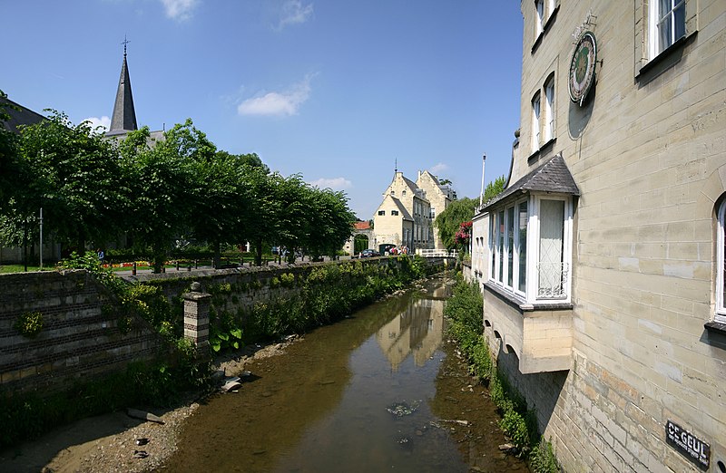
Nederlands: De Geul en Kasteel den Halder, Valkenburg
Français : Le Geul et le chateau du Halder a Fauquemont |
| Petsa | |
| Ginkuhaan | Self-photographed |
| Awtor | User:Cqui |
| Camera location | | View this and other nearby images on: OpenStreetMap |
|---|
| I, the copyright holder of this work, release this work into the public domain. This applies worldwide. In some countries this may not be legally possible; if so: I grant anyone the right to use this work for any purpose, without any conditions, unless such conditions are required by law. |
Kaagi han paypay
Pidlita an adlaw/oras para makit-an an fayl nga naggawas hito nga oras.
| Pitsa/Oras | Thumbnail | Mga dimensyon | Gumaramit | Komento | |
|---|---|---|---|---|---|
| waray pa kasasapawi | 17:53, 22 Hunyo 2008 | | 4,640 × 3,028 (1.49 nga MB) | Cqui | {{Information |Description={{nl|1=De_Geul_and_Kasteel_den_Halder_in_Valkenburg}} {{fr|1=Le Geul et le chateau du Halder a Fauquemont}} |Source=Photo perso |Author=User:Cqui |Date=17/06/08 |Permission= |other_versions= }} {{ImageUpload|full}} [[Catego |
Mga Sumpay
An mga nasunod nga mga pakli nasumpay hini nga paypay:
Global file usage
An masunod nga iba nga mga wiki in nagamit hini nga file:
- Paggamit ha fr.wikipedia.org
- Paggamit ha lb.wikipedia.org
- Paggamit ha nn.wikipedia.org
- Paggamit ha ro.wikipedia.org