Paypay:China Tibet location map.svg

Orihinal nga paypay (SVG nga fayl, ginbabanabanahan nga 2,013 × 1,137 nga mga pixel, kadako han fayl: 465 nga KB)
Dalikyat nga pulong
| Tigtulidong |
Deutsch: Positionskarte von Autonomes Gebiet Tibet, Volksrepublik China
Quadratische Plattkarte, N-S-Streckung 118 %. Geographische Begrenzung der Karte:
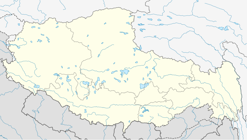
English: Location map of Tibet Autonomous Region, People's Republic of China
Equirectangular projection, N/S stretching 118 %. Geographic limits of the map:
|
||
| Petsa | |||
| Ginkuhaan |
Kalugaringon nga buhat, using
|
||
| Awtor | NordNordWest | ||
| Pagtugot (Gin-uutro paggamit inin nga file) |
This file is licensed under the Creative Commons Attribution-Share Alike 3.0 Germany license.
 This file is licensed under the Creative Commons Attribution-Share Alike 3.0 Germany license.
|
||
| SVG genesis | This W3C-invalid map was created with Adobe Illustrator.
|


Kaagi han paypay
Pidlita an adlaw/oras para makit-an an fayl nga naggawas hito nga oras.
| Pitsa/Oras | Thumbnail | Mga dimensyon | Gumaramit | Komento | |
|---|---|---|---|---|---|
| waray pa kasasapawi | 08:24, 22 Mayo 2020 | | 2,013 × 1,137 (465 nga KB) | NordNordWest | Reverted to version as of 10:41, 29 January 2019 (UTC); AGAIN: only vector data in this svg please |
| 21:38, 21 Mayo 2020 |  | 2,013 × 1,137 (595 nga KB) | Geographyinitiative | Reverted to version as of 06:29, 29 January 2019 (UTC) part of Aksai Chin is under TAR jurisdiction | |
| 10:41, 29 Enero 2019 |  | 2,013 × 1,137 (465 nga KB) | NordNordWest | Reverted to version as of 12:39, 8 May 2013 (UTC); only vector data in this svg please | |
| 06:29, 29 Enero 2019 |  | 2,013 × 1,137 (595 nga KB) | 复旦大学张超 | edit | |
| 12:39, 8 Mayo 2013 |  | 2,013 × 1,137 (465 nga KB) | NordNordWest | upd | |
| 12:38, 8 Mayo 2013 |  | 2,013 × 1,137 (465 nga KB) | NordNordWest | upd | |
| 13:28, 23 Pebrero 2010 |  | 2,013 × 1,137 (639 nga KB) | NordNordWest | upd | |
| 20:41, 10 Disyembre 2009 |  | 2,013 × 1,138 (632 nga KB) | NordNordWest | =={{int:filedesc}}== {{Information |Description= {{de|Positionskarte von Autonomes Gebiet Tibet, Volksrepublik China}} Quadratische Plattkarte, N-S-Streckung 118 %. Geographische Begrenzung der Ka |
Mga Sumpay
An mga nasunod nga mga pakli nasumpay hini nga paypay:
Global file usage
An masunod nga iba nga mga wiki in nagamit hini nga file:
- Paggamit ha ar.wikipedia.org
- Paggamit ha ba.wikipedia.org
- Paggamit ha be.wikipedia.org
- Paggamit ha bg.wikipedia.org
- Paggamit ha bn.wikipedia.org
- লোৎসে
- কৈলাস পর্বত
- ব্সাম-য়াস বৌদ্ধবিহার
- টেমপ্লেট:অবস্থান মানচিত্র চীন তিব্বত
- খ্রা-ব্রুগ বৌদ্ধবিহার
- টেমপ্লেট:অবস্থান মানচিত্র China Tibet
- র্দো-র্জে-ব্রাগ বৌদ্ধবিহার
- দ্গা'-ল্দান বৌদ্ধবিহার
- 'ব্রাস-স্পুংস বৌদ্ধবিহার
- সাঙ্গা বৌদ্ধবিহার
- মডিউল:অবস্থান মানচিত্র/উপাত্ত/চীন তিব্বত
- মডিউল:অবস্থান মানচিত্র/উপাত্ত/চীন তিব্বত/নথি
- লিপুলেখ গিরিপথ
- পুমোরি
- Paggamit ha ca.wikipedia.org
- Paggamit ha cdo.wikipedia.org
- Paggamit ha ceb.wikipedia.org
- Paggamit ha cs.wikipedia.org
- Paggamit ha cv.wikipedia.org
- Paggamit ha en.wikipedia.org
Kitaa durudamo nga global usage hinin nga file.