Paypay:Chiba-ken géolocalisation.svg

Size of this PNG preview of this SVG file: 576 × 599 nga mga pixel. Iba nga mga resolusyon: 231 × 240 nga mga pixel | 461 × 480 nga mga pixel | 738 × 768 nga mga pixel | 984 × 1,024 nga mga pixel | 1,968 × 2,048 nga mga pixel | 1,720 × 1,790 nga mga pixel.
Orihinal nga paypay (SVG nga fayl, ginbabanabanahan nga 1,720 × 1,790 nga mga pixel, kadako han fayl: 2.17 nga MB)
Dalikyat nga pulong
| Camera location | | View this and other nearby images on: OpenStreetMap |
|---|
| Tigtulidong |
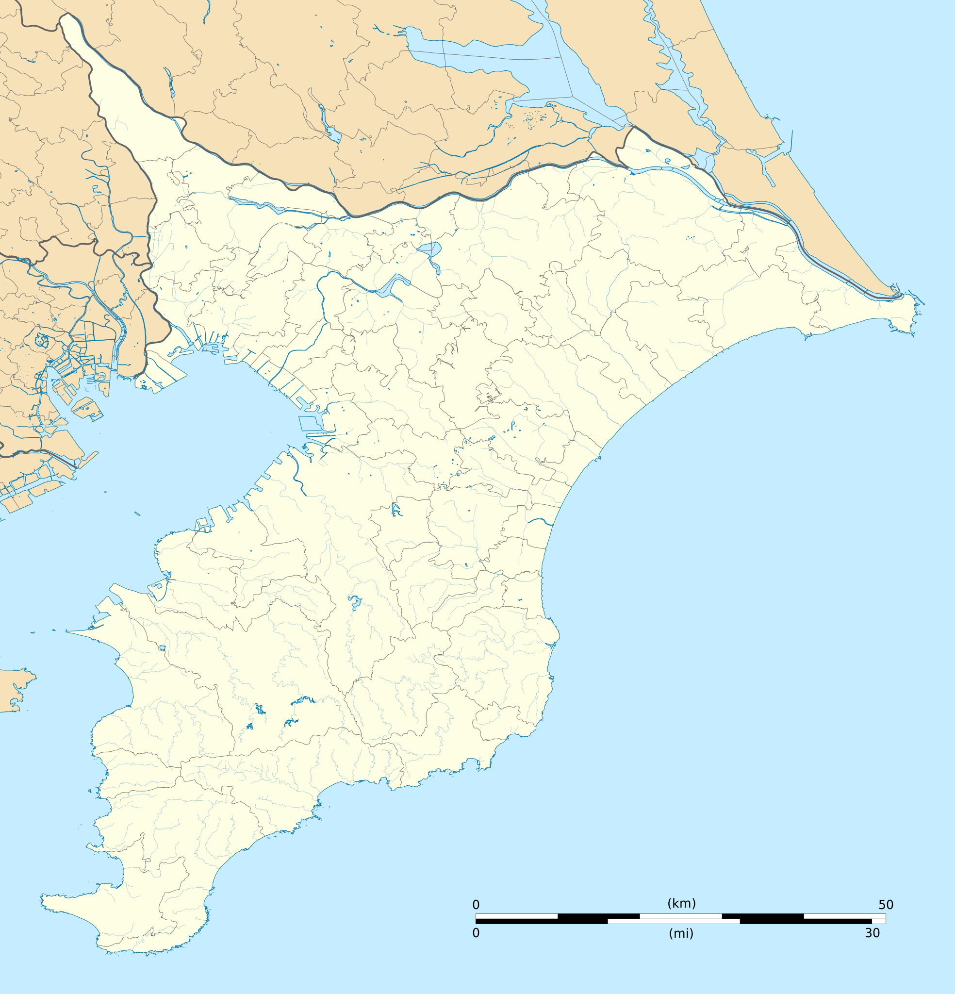
Deutsch: Karte der Präfektur Chiba.
English: Blank map of the Chiba Prefecture, for geolocalisation purpose.
Español: Mapa de la Prefectura de Chiba.
Italiano: Mappa della Prefettura di Chiba.
日本語: 千葉県の地図.
Bahasa Melayu: Peta kosong Wilayah Chiba, untuk tujuan geolokalisasi.
Português: Carta de la província de Chiba.
|
||
| Petsa | (UTC) | ||
| Ginkuhaan |
Création personnelle ;
|
||
| Awtor | © Bourrichon (talk) - fr:Bourrichon | ||
| Pagtugot (Gin-uutro paggamit inin nga file) |
|
||
| Other versions | File:Chiba-ken géolocalisation relief.svg |
This W3C-unspecified vector image was created with Inkscape .
Palilisensya:
I, the copyright holder of this work, hereby publish it under the following license:
This file is licensed under the Creative Commons Attribution-Share Alike 2.0 France license.
Attribution: Bourrichon (atelier graphique)
- Talwas ka:
- para han pagpasaro – para han pagkopya, pagpakalat ngan pagpadangat han buhat
- para han pagremix – pag-adapt han buhat
- Ha ilarom an masunod nga mga kondisyon:
- attribution – Kinahanglanon mo tagan hin kaangayan nga credit, paghatag hin sumpay ngadto ha lisensya, ngan igbutang an imo ginbag-ohan nga binuhat. Puydi mo ini buhaton ha bisan ano nga resonable nga pamaagi, pero diri nimo pagawson nga an naghatag hin lisensya nag-eendorso ha imo o ha imo paggamit.
- share alike – Kun imo ginsagol-hin-otro, gin-iba, o gin-hingayad han buhat, ikaw in angay gud là magpakalat han imo gin-amot ha ilarom la han [http:creativecommons.org/share-your-work/licensing-considerations/compatible-licenses pareho o naangay nga lisensya] sugad han orihinal.

Kaagi han paypay
Pidlita an adlaw/oras para makit-an an fayl nga naggawas hito nga oras.
| Pitsa/Oras | Thumbnail | Mga dimensyon | Gumaramit | Komento | |
|---|---|---|---|---|---|
| waray pa kasasapawi | 15:55, 10 Hulyo 2013 | | 1,720 × 1,790 (2.17 nga MB) | Bourrichon | == {{int:filedesc}} == {{Location|35|00|00|N|140|00|00|E|scale:10000}} {{Information |Description= {{fr|Carte vierge de la fr:Préfecture de Chiba, au Japon, destinée à la géolocalisation.}} {{de|Karte der [[:de:Präfektur Chib... |
Mga Sumpay
An mga nasunod nga mga pakli nasumpay hini nga paypay:
Global file usage
An masunod nga iba nga mga wiki in nagamit hini nga file:
- Paggamit ha ar.wikipedia.org
- Paggamit ha ceb.wikipedia.org
- Paggamit ha de.wikipedia.org
- Paggamit ha en.wikipedia.org
- Kashiwa
- Chiba University
- Katori Station
- Chōshi Station
- Narita Station
- Keisei Narita Station
- Higashi-Narita Station
- Narita Airport Terminal 2·3 Station
- Narita Airport Terminal 1 Station
- Shibayama-Chiyoda Station
- Kōzunomori Station
- Chiba Station
- Wadaura Station
- Hon-Chiba Station
- Matsudo Station
- Kashiwa Station
- Soga Station
- Hamano Station
- Yawatajuku Station
- Goi Station
- Anegasaki Station
- Tsudanuma
- Kita-Matsudo Station
- Mabashi Station
- Shim-Matsudo Station
- Kita-Kogane Station
- Minami-Kashiwa Station
- Kita-Kashiwa Station
- Abiko Station (Chiba)
- Tennōdai Station
- Hatsutomi Station
- Kunugiyama Station
- Urayasu Station (Chiba)
- Minami-Gyōtoku Station
- Gyōtoku Station
- Myōden Station
- Baraki-nakayama Station
- Kōnodai Station
- Ichikawamama Station
- Sugano Station
- Keisei Yawata Station
- Onigoe Station
- Keisei Nakayama Station
- Higashi-Nakayama Station
Kitaa durudamo nga global usage hinin nga file.