Paypay:Brandenburg location map.svg

Size of this PNG preview of this SVG file: 570 × 600 nga mga pixel. Iba nga mga resolusyon: 228 × 240 nga mga pixel | 456 × 480 nga mga pixel | 730 × 768 nga mga pixel | 973 × 1,024 nga mga pixel | 1,947 × 2,048 nga mga pixel | 1,022 × 1,075 nga mga pixel.
Orihinal nga paypay (SVG nga fayl, ginbabanabanahan nga 1,022 × 1,075 nga mga pixel, kadako han fayl: 275 nga KB)
| Tigtulidong |
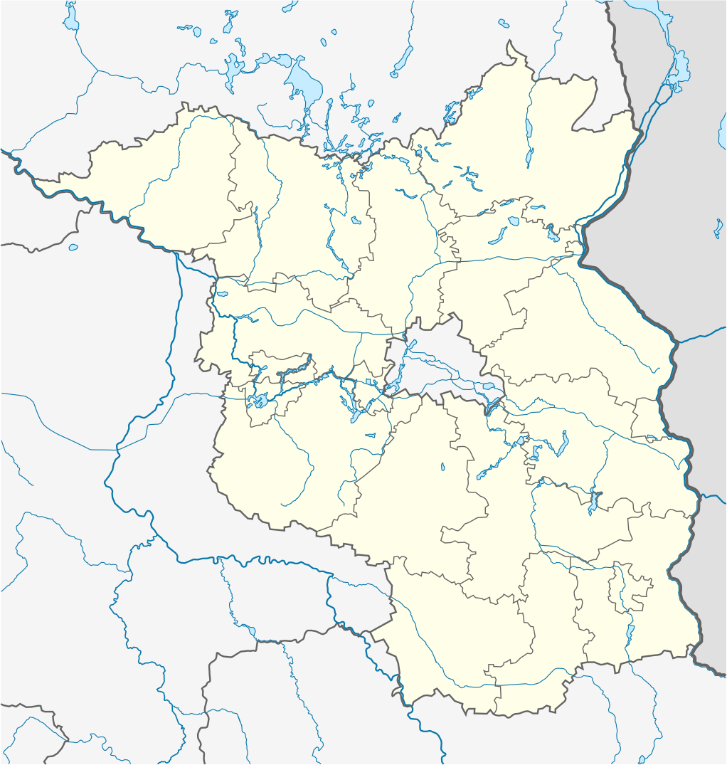
Quadratische Plattkarte, N-S-Streckung 160 %. Geographische Begrenzung der Karte:
Equirectangular projection, N/S stretching 160 %. Geographic limits of the map:
|
||
| Petsa | |||
| Ginkuhaan | own work, using United States National Imagery and Mapping Agency data | ||
| Awtor | NordNordWest | ||
| Other versions |
|
||
| SVG genesis |
|


Palilisensya:
I, the copyright holder of this work, hereby publish it under the following licenses:

|
An permiso in ginhatag ha pagkopya, pagpakalat ngan/o pagliwat hinin nga dokumento ha ilarom han mga termino han GNU Free Documentation License, Version 1.2 o mas uruurhi nga version nga ginmantala han Free Software Foundation; nga may-ada waray Invariant Sections, waray Front-Cover Texts, ngan waray Back-Cover Texts. May-ada kopya hin lisensya nga ginlalakip ha seksyon nga may-ada pamagat nga GNU Free Documentation License. |
Ini nga file in nakalisensya ha ilarom han Creative Commons Attribution-Share Alike 3.0 Unported license.
- Talwas ka:
- para han pagpasaro – para han pagkopya, pagpakalat ngan pagpadangat han buhat
- para han pagremix – pag-adapt han buhat
- Ha ilarom an masunod nga mga kondisyon:
- attribution – Kinahanglanon mo tagan hin kaangayan nga credit, paghatag hin sumpay ngadto ha lisensya, ngan igbutang an imo ginbag-ohan nga binuhat. Puydi mo ini buhaton ha bisan ano nga resonable nga pamaagi, pero diri nimo pagawson nga an naghatag hin lisensya nag-eendorso ha imo o ha imo paggamit.
- share alike – Kun imo ginsagol-hin-otro, gin-iba, o gin-hingayad han buhat, ikaw in angay gud là magpakalat han imo gin-amot ha ilarom la han [http:creativecommons.org/share-your-work/licensing-considerations/compatible-licenses pareho o naangay nga lisensya] sugad han orihinal.
Puydi ka pumili hin lisenysa nga karuyag mo.
Kaagi han paypay
Pidlita an adlaw/oras para makit-an an fayl nga naggawas hito nga oras.
| Pitsa/Oras | Thumbnail | Mga dimensyon | Gumaramit | Komento | |
|---|---|---|---|---|---|
| waray pa kasasapawi | 10:14, 3 Marso 2009 | | 1,022 × 1,075 (275 nga KB) | NordNordWest | {{Information |Description= {{de|Positionskarte von Brandenburg, Deutschland}} Quadratische Plattkarte, N-S-Streckung 160 %. Geographische Begrenzung der Karte: * N: 53.7° N * S: 51.2° N * W: 11.1° O * O: 14.9° |
Mga Sumpay
An mga nasunod nga mga pakli nasumpay hini nga paypay:
Global file usage
An masunod nga iba nga mga wiki in nagamit hini nga file:
- Paggamit ha als.wikipedia.org
- Paggamit ha ar.wikipedia.org
- Paggamit ha azb.wikipedia.org
- Paggamit ha ba.wikipedia.org
- Paggamit ha bg.wikipedia.org
- Paggamit ha bn.wikipedia.org
- Paggamit ha ceb.wikipedia.org
- Paggamit ha cs.wikipedia.org
- Paggamit ha da.wikipedia.org
- Paggamit ha de.wikipedia.org
- Cargolifter
- Tempelfelde
- Gorgast
- Manschnow
- Zechlinerhütte
- Flughafen Berlin-Schönefeld
- Flughafen Berlin Brandenburg
- Zehlendorf (Oranienburg)
- Woltersdorf (Nuthe-Urstromtal)
- Caputh
- Basdorf (Wandlitz)
- Prenden
- Zoologischer Garten Eberswalde
- Groß Schönebeck
- Golm (Potsdam)
- Stangenhagen
- Finowfurt
- Raben (Rabenstein/Fläming)
- Gröben (Ludwigsfelde)
- Schleuse Kleinmachnow
- Bloischdorf
- Fichtenwalde
- Beelitz-Heilstätten
- Busendorf (Beelitz)
- Schönfließ (Mühlenbecker Land)
- Kienitz
- Rehagen (Am Mellensee)
- Flugplatz Neuhardenberg
- Afrika (Flieth-Stegelitz)
- Zerpenschleuse
- Wulkow (Neuruppin)
- Vietmannsdorf
- Kummerow (Schwedt/Oder)
- Trebbus
Kitaa durudamo nga global usage hinin nga file.