Paypay:Bahrain location map.svg

Size of this PNG preview of this SVG file: 465 × 600 nga mga pixel. Iba nga mga resolusyon: 186 × 240 nga mga pixel | 372 × 480 nga mga pixel | 595 × 768 nga mga pixel | 794 × 1,024 nga mga pixel | 1,588 × 2,048 nga mga pixel | 1,246 × 1,607 nga mga pixel.
Orihinal nga paypay (SVG nga fayl, ginbabanabanahan nga 1,246 × 1,607 nga mga pixel, kadako han fayl: 136 nga KB)
Dalikyat nga pulong
| Tigtulidong |
Deutsch: Positionskarte von Bahrain
Geographische Begrenzung der Karte:
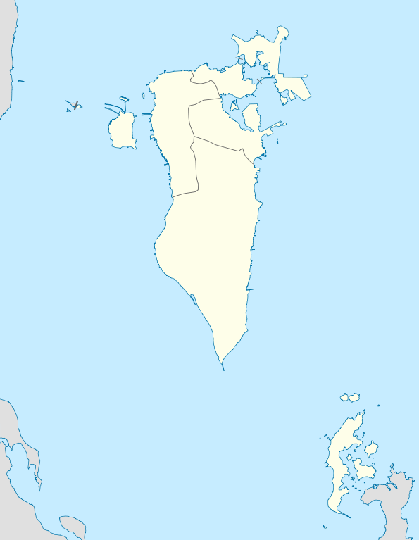
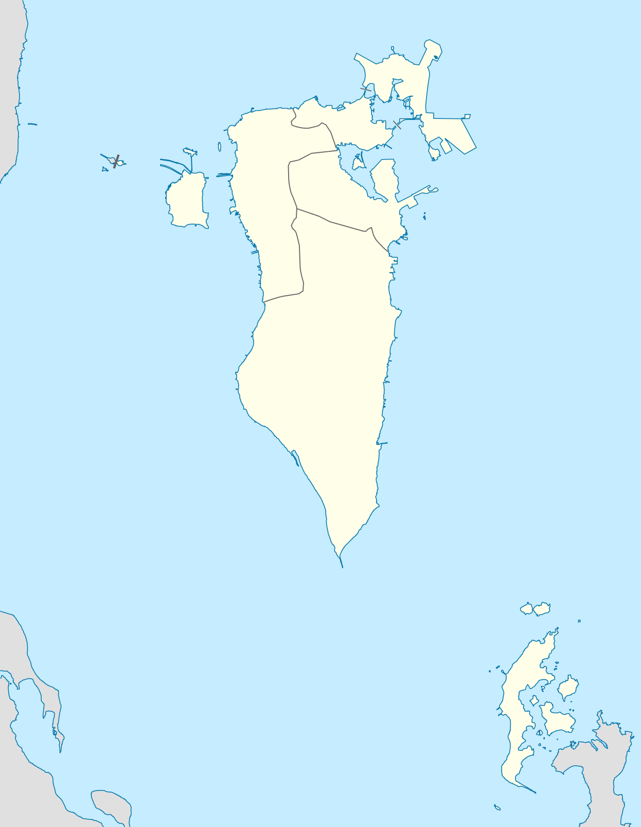
English: Location map of Bahrain
Geographic limits of the map:
|
||||||||||||
| Petsa | |||||||||||||
| Ginkuhaan | Kalugaringon nga buhat | ||||||||||||
| Awtor | NordNordWest | ||||||||||||
| Pagtugot (Gin-uutro paggamit inin nga file) |
|

|
This map has been made or improved in the German Kartenwerkstatt (Map Lab). You can propose maps to improve as well.
|
Kaagi han paypay
Pidlita an adlaw/oras para makit-an an fayl nga naggawas hito nga oras.
| Pitsa/Oras | Thumbnail | Mga dimensyon | Gumaramit | Komento | |
|---|---|---|---|---|---|
| waray pa kasasapawi | 15:34, 9 Marso 2010 | | 1,246 × 1,607 (136 nga KB) | NordNordWest | upd |
| 17:34, 19 Disyembre 2009 |  | 1,246 × 1,607 (161 nga KB) | NordNordWest | == {{int:filedesc}} == {{Information |Description= {{de|Positionskarte von Bahrain}} Geographische Begrenzung der Karte: * N: 26.34° N * S: 25.54° N * W: 50.2° O * O: 50.89° O {{en|Location map of Bahrain}} Geographic l |
Mga Sumpay
An mga nasunod nga mga pakli nasumpay hini nga paypay:
Global file usage
An masunod nga iba nga mga wiki in nagamit hini nga file:
- Paggamit ha af.wikipedia.org
- Paggamit ha als.wikipedia.org
- Paggamit ha ba.wikipedia.org
- Paggamit ha be-tarask.wikipedia.org
- Paggamit ha be.wikipedia.org
- Paggamit ha bg.wikipedia.org
- Paggamit ha bn.wikipedia.org
- Paggamit ha bs.wikipedia.org
- Paggamit ha ceb.wikipedia.org
- Plantilya:Location map Bahrain
- Ra’s Khuşayfah
- Salá
- Capital
- Inner Anchorage
- Dawḩat Salwá
- West Spit
- Umm ash Shanin
- Little Sand Island
- Sitrah
- Jazīrat ash Shaykh
- Saya
- Ra’s al ‘Ayn
- Ain (pagklaro)
- Ra’s al Qal‘ah
- An Nabī Şāliḩ
- ‘Arad
- Al Muḩarraq
- Isa
- Liya
- Khusaifa
- ‘Ayn al Khaḑrā’
- Ra’s al Jazā’ir
- Ra’s al Jasrah
- Jiddah
- Ra’s al Yaman
- Jadam
- Jazīrat Ḩawār
- Hawar Island
- Howar
- Harta
- Jabal ad Dukhkhān
- Fasht ad Dībal
- Ra’s ad Dayr
- Ra’s al Barr
- Tyros
- Al Baḩrayn
- Bahrain
Kitaa durudamo nga global usage hinin nga file.