Paypay:Australia Western Australia location map blank.svg

Orihinal nga paypay (SVG nga fayl, ginbabanabanahan nga 1,205 × 1,738 nga mga pixel, kadako han fayl: 746 nga KB)
| Tigtulidong |
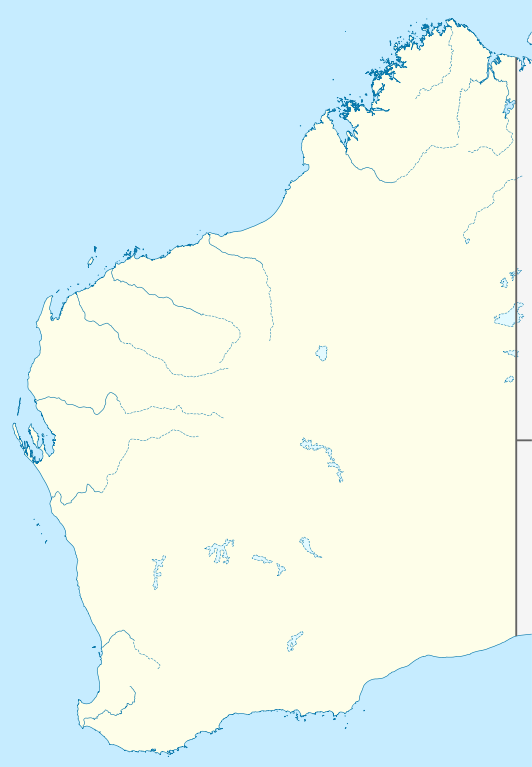
Quadratische Plattkarte, N-S-Streckung 110 %. Geographische Begrenzung der Karte:
Equirectangular projection, N/S stretching 110 %. Geographic limits of the map:
|
|
| Petsa | (UTC) | |
| Ginkuhaan |
|
|
| Awtor |
|
|
| Pagtugot (Gin-uutro paggamit inin nga file) |
This file is licensed under the Creative Commons Attribution-Share Alike 3.0 Germany license.
 |


|
This map has been made or improved in the German Kartenwerkstatt (Map Lab). You can propose maps to improve as well.
|
- Talwas ka:
- para han pagpasaro – para han pagkopya, pagpakalat ngan pagpadangat han buhat
- para han pagremix – pag-adapt han buhat
- Ha ilarom an masunod nga mga kondisyon:
- attribution – Kinahanglanon mo tagan hin kaangayan nga credit, paghatag hin sumpay ngadto ha lisensya, ngan igbutang an imo ginbag-ohan nga binuhat. Puydi mo ini buhaton ha bisan ano nga resonable nga pamaagi, pero diri nimo pagawson nga an naghatag hin lisensya nag-eendorso ha imo o ha imo paggamit.
- share alike – Kun imo ginsagol-hin-otro, gin-iba, o gin-hingayad han buhat, ikaw in angay gud là magpakalat han imo gin-amot ha ilarom la han [http:creativecommons.org/share-your-work/licensing-considerations/compatible-licenses pareho o naangay nga lisensya] sugad han orihinal.
Original upload log
This image is a derivative work of the following images:
- File:Australia_Western_Australia_location_map.svg licensed with Cc-by-sa-3.0
- 2010-04-04T22:09:38Z Chumwa 1205x1738 (857076 Bytes) Reverted to version as of 21:21, 23 January 2010
- 2010-04-04T21:44:58Z Roke 1205x1738 (763706 Bytes) local government low salience, dont appear on general use maps
- 2010-01-23T21:21:43Z NordNordWest 1205x1738 (857076 Bytes) =={{int:filedesc}}== {{Information |Description= {{de|Positionskarte von [[:de:Western Australia|Western Australia]], [[:de:Australien|Australien]]}} Quadratische Plattkarte, N-S-Streckung 110 %. Geographische Begrenzung der
Uploaded with derivativeFX
Kaagi han paypay
Pidlita an adlaw/oras para makit-an an fayl nga naggawas hito nga oras.
| Pitsa/Oras | Thumbnail | Mga dimensyon | Gumaramit | Komento | |
|---|---|---|---|---|---|
| waray pa kasasapawi | 00:29, 10 Abril 2010 | | 1,205 × 1,738 (746 nga KB) | Roke~commonswiki | {{Information |Description={{de|Positionskarte von Western Australia, Australien}} Quadratische Plattkarte, N-S-Streckung 110 %. Geographische Begrenzung der Karte: * N: 13.2° S * S: 35.5° S * W: 112.5° O * |
Mga Sumpay
An mga nasunod nga mga pakli nasumpay hini nga paypay:
Global file usage
An masunod nga iba nga mga wiki in nagamit hini nga file:
- Paggamit ha ar.wikipedia.org
- Paggamit ha ast.wikipedia.org
- Paggamit ha ceb.wikipedia.org
- Paggamit ha ckb.wikipedia.org
- Paggamit ha da.wikipedia.org
- Paggamit ha de.wikipedia.org
- Paggamit ha en.wikipedia.org
- Paggamit ha fa.wikipedia.org
- Paggamit ha gl.wikipedia.org
- Paggamit ha ja.wikipedia.org
- Paggamit ha ka.wikipedia.org
- Paggamit ha kn.wikipedia.org
- Paggamit ha ko.wikipedia.org
- Paggamit ha mk.wikipedia.org
- Paggamit ha ml.wikipedia.org
- Paggamit ha no.wikipedia.org
- Paggamit ha pl.wikipedia.org
- Paggamit ha pl.wikibooks.org
- Paggamit ha pt.wikipedia.org
- Paggamit ha ro.wikipedia.org
- Paggamit ha sco.wikipedia.org
- Paggamit ha shn.wikipedia.org
- Paggamit ha simple.wikipedia.org
- Paggamit ha si.wikipedia.org
- Paggamit ha sl.wikipedia.org
- Paggamit ha tr.wikipedia.org
- Paggamit ha uk.wikipedia.org
Kitaa durudamo nga global usage hinin nga file.