Paypay:Australia Capital Territory location map.svg

Orihinal nga paypay (SVG nga fayl, ginbabanabanahan nga 477 × 691 nga mga pixel, kadako han fayl: 272 nga KB)
| Tigtulidong |
Deutsch: Positionskarte des Australian Capital Territory, Australien.
Mercator-Projektion. Geographische Begrenzungen der Karte:
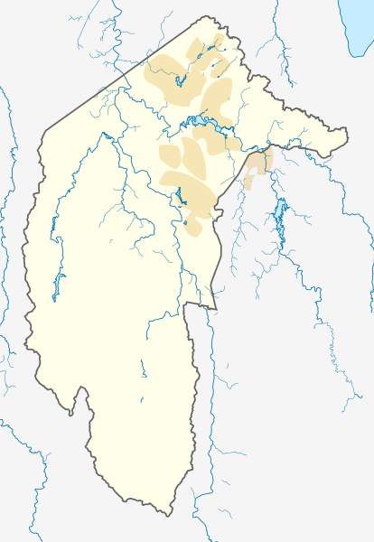
English: Location map of the Australian Capital Territory, Australia.
Mercator projection. Geographic limits of the map:
|
|||
| Petsa |
Original Version: 2012-12-19 |
|||
| Ginkuhaan | Kalugaringon nga buhat, using OpenStreetMap data. Urban areas redrawn using OpenStreetMap data current at date above. | |||
| Awtor |
Original Version: Carport |
|||
| Pagtugot (Gin-uutro paggamit inin nga file) |
Ini nga file in nakalisensya ha ilarom han Creative Commons Attribution-Share Alike 3.0 Unported license.
|
Kaagi han paypay
Pidlita an adlaw/oras para makit-an an fayl nga naggawas hito nga oras.
| Pitsa/Oras | Thumbnail | Mga dimensyon | Gumaramit | Komento | |
|---|---|---|---|---|---|
| waray pa kasasapawi | 09:39, 2 Hunyo 2013 | | 477 × 691 (272 nga KB) | Nbound | Back to more neutral colours |
| 09:31, 2 Hunyo 2013 |  | 477 × 691 (272 nga KB) | Nbound | Redraw urban areas | |
| 20:57, 19 Disyembre 2012 |  | 477 × 691 (274 nga KB) | Carport | {{Information |Description={{de|1=Positionskarte des {{w|Australian Capital Territory|3=de}}, {{w|Australien|3=de}}. Mercator-Projektion. Geographische Begrenzungen der Karte: * N: 35.1° S * S: 35.96° S * W: 148.72° O * O: 149.45° O }} [[Category... |
Mga Sumpay
An mga nasunod nga mga pakli nasumpay hini nga paypay:
Global file usage
An masunod nga iba nga mga wiki in nagamit hini nga file:
- Paggamit ha af.wikipedia.org
- Paggamit ha bg.wikipedia.org
- Paggamit ha bn.wikipedia.org
- Paggamit ha ceb.wikipedia.org
- Paggamit ha de.wikipedia.org
- Canberra
- Black Mountain Tower
- Flughafen Canberra
- Yarralumla
- Kaleen (Stadtteil)
- Mount Majura
- Mount Taylor (Australien)
- Mount Ainslie
- Black Mountain (Australian Capital Territory)
- Lake Burley Griffin
- Capital Hill
- Lake Ginninderra
- Lake Tuggeranong
- Canberra Stadium
- Mount Stromlo
- National Zoo and Aquarium
- Manuka Oval
- Giralang
- Vorlage:Infobox Stausee
- Vorlage:Infobox Stausee/Doku
- Wikipedia:Kartenwerkstatt/Positionskarten/Australien und Ozeanien
- Vorlage:Infobox Ort in Australien
- Vorlage:Infobox Ort in Australien/Doku
- Vorlage:Positionskarte Australien Capital Territory
- Benutzer:Rr2000/Vorlagentest Ort in Australien
- Bimberi Peak
- Mount Franklin (Australian Capital Territory)
- Strathnairn
- Paggamit ha en.wikipedia.org
- Namadgi National Park
- Tidbinbilla Nature Reserve
- Fyshwick, Australian Capital Territory
- Mount Ainslie
- Lake Burley Griffin
- Molonglo River
- Acton, Australian Capital Territory
- Weston, Australian Capital Territory
- Civic, Australian Capital Territory
- Yarralumla, Australian Capital Territory
- Deakin, Australian Capital Territory
- Black Mountain (Australian Capital Territory)
- Campbell, Australian Capital Territory
- Reid, Australian Capital Territory
- Canberra Airport
- Braddon, Australian Capital Territory
Kitaa durudamo nga global usage hinin nga file.