Paypay:Afghanistan location map.svg

Size of this PNG preview of this SVG file: 800 × 589 nga mga pixel. Iba nga mga resolusyon: 320 × 236 nga mga pixel | 640 × 471 nga mga pixel | 1,024 × 754 nga mga pixel | 1,280 × 943 nga mga pixel | 2,560 × 1,886 nga mga pixel | 1,807 × 1,331 nga mga pixel.
Orihinal nga paypay (SVG nga fayl, ginbabanabanahan nga 1,807 × 1,331 nga mga pixel, kadako han fayl: 572 nga KB)
Dalikyat nga pulong
| Tigtulidong |
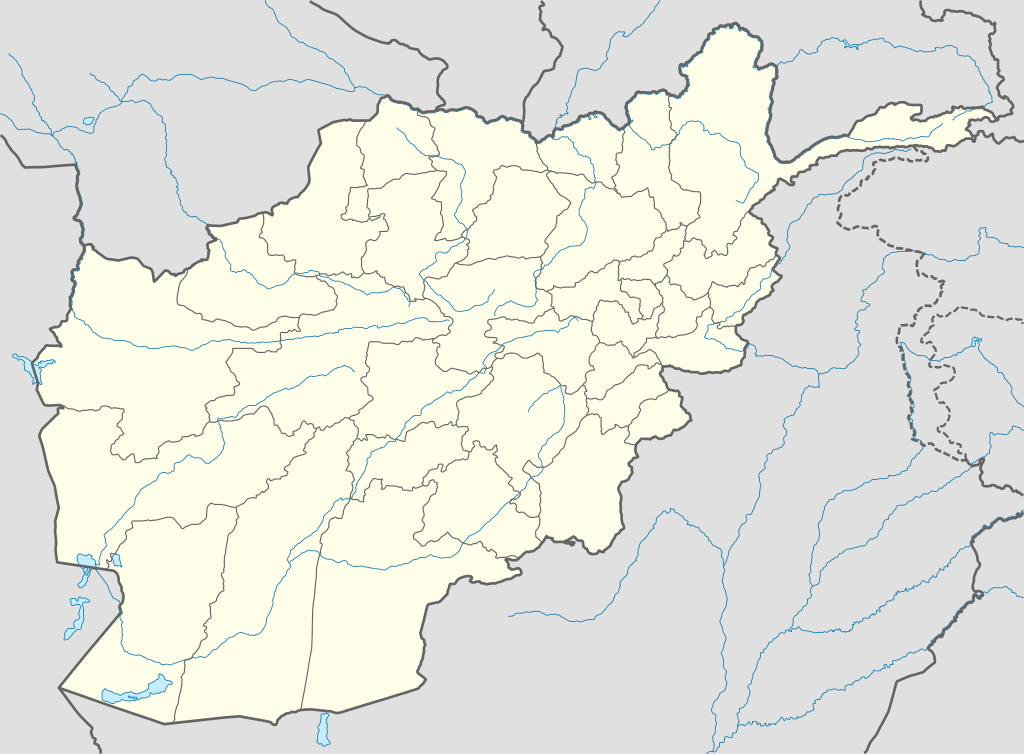
Deutsch: Positionskarte von Afghanistan
Quadratische Plattkarte, N-S-Streckung 115 %. Geographische Begrenzung der Karte:
English: Location map of Afghanistan
Equirectangular projection, N/S stretching 115 %. Geographic limits of the map:
Español: Mapa de Afganistán
Proyección equirectangular, Escala N-S 115 %. Límites geogáficos:
|
| Petsa | |
| Ginkuhaan |
own work, using
|
| Awtor | NordNordWest |

|
This map has been made or improved in the German Kartenwerkstatt (Map Lab). You can propose maps to improve as well.
|
Palilisensya:
I, the copyright holder of this work, hereby publish it under the following licenses:

|
An permiso in ginhatag ha pagkopya, pagpakalat ngan/o pagliwat hinin nga dokumento ha ilarom han mga termino han GNU Free Documentation License, Version 1.2 o mas uruurhi nga version nga ginmantala han Free Software Foundation; nga may-ada waray Invariant Sections, waray Front-Cover Texts, ngan waray Back-Cover Texts. May-ada kopya hin lisensya nga ginlalakip ha seksyon nga may-ada pamagat nga GNU Free Documentation License. |
Ini nga file in nakalisensya ha ilarom han Creative Commons Attribution-Share Alike 3.0 Unported license.
- Talwas ka:
- para han pagpasaro – para han pagkopya, pagpakalat ngan pagpadangat han buhat
- para han pagremix – pag-adapt han buhat
- Ha ilarom an masunod nga mga kondisyon:
- attribution – Kinahanglanon mo tagan hin kaangayan nga credit, paghatag hin sumpay ngadto ha lisensya, ngan igbutang an imo ginbag-ohan nga binuhat. Puydi mo ini buhaton ha bisan ano nga resonable nga pamaagi, pero diri nimo pagawson nga an naghatag hin lisensya nag-eendorso ha imo o ha imo paggamit.
- share alike – Kun imo ginsagol-hin-otro, gin-iba, o gin-hingayad han buhat, ikaw in angay gud là magpakalat han imo gin-amot ha ilarom la han [http:creativecommons.org/share-your-work/licensing-considerations/compatible-licenses pareho o naangay nga lisensya] sugad han orihinal.
Puydi ka pumili hin lisenysa nga karuyag mo.
Kaagi han paypay
Pidlita an adlaw/oras para makit-an an fayl nga naggawas hito nga oras.
| Pitsa/Oras | Thumbnail | Mga dimensyon | Gumaramit | Komento | |
|---|---|---|---|---|---|
| waray pa kasasapawi | 19:59, 9 Oktubre 2009 | | 1,807 × 1,331 (572 nga KB) | NordNordWest | |
| 19:27, 11 Agosto 2009 |  | 1,809 × 1,335 (355 nga KB) | NordNordWest | ||
| 12:11, 14 Septyembre 2008 |  | 1,809 × 1,335 (360 nga KB) | NordNordWest | {{Information |Description= {{de|Positionskarte von Afghanistan}} Quadratische Plattkarte, N-S-Streckung 115 %. Geographische Begrenzung der Karte: * N: 38.8° N * S: 29.0° N * W: 60.0° O * O: 75.3° O {{en|Location map of [[:en:Afgh |
Mga Sumpay
An mga nasunod nga mga pakli nasumpay hini nga paypay:
Global file usage
An masunod nga iba nga mga wiki in nagamit hini nga file:
- Paggamit ha af.wikipedia.org
- Paggamit ha als.wikipedia.org
- Paggamit ha ar.wikipedia.org
- أبو سليمان الخطابي
- سنجين
- قالب:خريطة مواقع أفغانستان
- تفجير كابول يوليو 2016
- هجوم معسكر شاهين (أبريل 2017)
- هجوم على قرية ميرزا أولانغ
- هجوم على مسجدين في كابول وغور أكتوبر 2017
- تفجير كابول الانتحاري أغسطس 2018
- تفجير كابول الانتحاري مارس 2018
- هجوم كابل سبتمبر 2018
- تفجير كابل نوفمبر 2016
- تفجير مسجد كابل 2019
- قائمة السدود والخزانات في أفغانستان
- تفجير كابل الانتحاري أكتوبر 2020
- Paggamit ha azb.wikipedia.org
- Paggamit ha az.wikipedia.org
- Kabil
- Bəlx (şəhər)
- Qəndəhar
- Herat
- Məzari-Şərif
- Qarabağ (Əfqanıstan)
- Səngçaraq
- Şablon:Yer xəritəsi Əfqanıstan
- Bazərgan (Əfqanıstan)
- Bamiyan Budda heykəlləri
- Giro vulusvalisi
- Saləng
- Darul Aman sarayı
- Almar vulusvalisi
- Xani Çarbağ vulusvalisi
- Zərənc
- Cam minarəsi
- Bartanq çayı
- Cəlalabad (Əfqanıstan)
- Ləşgərgah
- Puli-Xümri
- Bəğlan (şəhər)
- Ay Xanım
Kitaa durudamo nga global usage hinin nga file.