Batakan:Location map Slovakia
| name | Slovakia | |||
|---|---|---|---|---|
| border coordinates | ||||
| 49.8 | ||||
| 16.6 | ←↕→ | 23.0 | ||
| 47.6 | ||||
| map center | 48°42′N 19°48′E / 48.7°N 19.8°E | |||
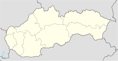
| image | Slovakia location map.svg
| |||

| ||||
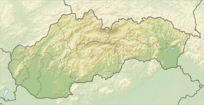
| image1 | Relief Map of Slovakia 2.png
| |||

| ||||
How to use an alternative map
igliwatThis template normally displays the map shown above as image:
- Slovakia location map.svg.
The AlternativeMap parameter in Template:Location map can be used to display the following image:
- Relief Map of Slovakia 2.png
Further instructions and examples can be found at Template:Location map#Using Alternative Map.