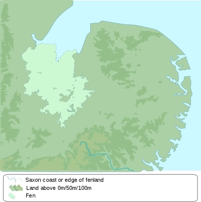
Batakan:Location map Kingdom of the East Angles
| name | Kingdom of the East Angles | |||
|---|---|---|---|---|
| border coordinates | ||||
| 53.14 | ||||
| -0.552 | ←↕→ | 1.9 | ||
| 51.75 | ||||
| map center | 52°26′42″N 0°40′26″E / 52.445°N 0.674°E | |||
| image | The kingdom of East Anglia blank.svg
| |||

| ||||
| name | Kingdom of the East Angles | |||
|---|---|---|---|---|
| border coordinates | ||||
| 53.14 | ||||
| -0.552 | ←↕→ | 1.9 | ||
| 51.75 | ||||
| map center | 52°26′42″N 0°40′26″E / 52.445°N 0.674°E / 52.445; 0.674 | |||
| image | The kingdom of East Anglia blank.svg
| |||

| ||||