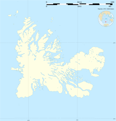
Batakan:Location map France Kerguelen
| name | Kerguelen | |||
|---|---|---|---|---|
| border coordinates | ||||
| -48.436 | ||||
| 68.425 | ←↕→ | 70.78 | ||
| -50.037 | ||||
| map center | 49°14′11″S 69°36′09″E / 49.2365°S 69.6025°E | |||
| image | Kerguelen blank map.svg
| |||

| ||||
| image1 | Kerguelen topographic blank map.png
| |||

| ||||
| name | Kerguelen | |||
|---|---|---|---|---|
| border coordinates | ||||
| -48.436 | ||||
| 68.425 | ←↕→ | 70.78 | ||
| -50.037 | ||||
| map center | 49°14′11″S 69°36′09″E / 49.2365°S 69.6025°E / -49.2365; 69.6025 | |||
| image | Kerguelen blank map.svg
| |||

| ||||
| image1 | Kerguelen topographic blank map.png
| |||

| ||||