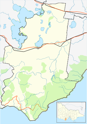
Batakan:Location map Australia Victoria Colac Otway Shire
| name | Colac Otway Shire | |||
|---|---|---|---|---|
| border coordinates | ||||
| -38.0 | ||||
| 143.24 | ←↕→ | 144.02 | ||
| -38.88 | ||||
| map center | 38°26′S 143°38′E / 38.44°S 143.63°E | |||
| image | Australia Victoria Colac Otway Shire location map.svg
| |||

| ||||
| name | Colac Otway Shire | |||
|---|---|---|---|---|
| border coordinates | ||||
| -38.0 | ||||
| 143.24 | ←↕→ | 144.02 | ||
| -38.88 | ||||
| map center | 38°26′S 143°38′E / 38.44°S 143.63°E / -38.44; 143.63 | |||
| image | Australia Victoria Colac Otway Shire location map.svg
| |||

| ||||